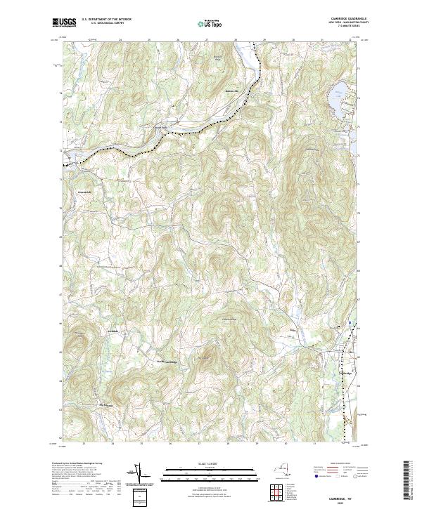
2023 Map of Cambridge
USGS Topo · Published 2023About this map
Batten Kill winds through the northern portion of this Washington County landscape, connecting the historic riverfront communities of Battenville and Center Falls. This 2023 survey illustrates the enduring agricultural and residential patterns of eastern New York, where established villages like Cambridge and Greenwich anchor a network of rural roads and ridges. Notable elevation points such as Chestnut Ridge and Mount Colfax overlook a chain of water bodies in the northeast, including Hedges Lake, Schoolhouse Lake, and Lake Lauderdale.
Find a feature on this map
121 named features on this map. Tap any name to fly to it.
Don’t see what you’re looking for? This feature index may not catch every label — zoom into the map to look around manually.
Map Details
Editions of this 2023 Cambridge Map
This is the sole edition of this map. No revisions or reprints were ever made.
Other maps of this area

1893 · Cohoes
USGS Topo · 1:62,500

1895 · Cohoes
USGS Topo · 1:62,500

1895 · Cambridge
USGS Topo · 1:62,500

1897 · Hoosick
USGS Topo · 1:62,500

1898 · Cambridge
USGS Topo · 1:62,500

1898 · Cohoes
USGS Topo · 1:62,500

1900 · Taconic
USGS Topo · 1:125,000

1900 · Schuylerville
USGS Topo · 1:62,500

1901 · Cambridge
USGS Topo · 1:62,500

1903 · Mettawee
USGS Topo · 1:125,000