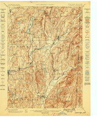
1898 Map of Cambridge
USGS Topo · Published 1898About this map
Batten Kill winding through the valley floor defines the layout of several late nineteenth-century settlements, including Battenville, Center Falls, and Shushan. The landscape reflects a well-established agrarian and industrial corridor along the New York and Vermont border, where the Delaware and Hudson RR and Greenwich and Johnsonville RR provide critical transportation links. These rail lines connected rural communities like Easton Sta. and Salem to broader markets, while smaller hamlets such as Pumpkin Hook and Fly Summit remained tucked into the hilly terrain.
Find a feature on this map
71 named features on this map. Tap any name to fly to it.
Don’t see what you’re looking for? This feature index may not catch every label — zoom into the map to look around manually.
Map Details
Editions of this 1898 Cambridge Map
This is the sole edition of this map. No revisions or reprints were ever made.
Other maps of this area
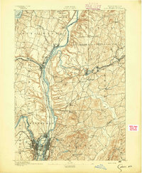
1893 · Cohoes
USGS Topo · 1:62,500

1893 · Fort Ann
USGS Topo · 1:62,500

1894 · Pawlet
USGS Topo · 1:62,500
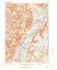
1894 · Equinox
USGS Topo · 1:62,500
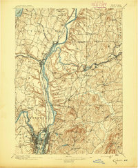
1895 · Cohoes
USGS Topo · 1:62,500
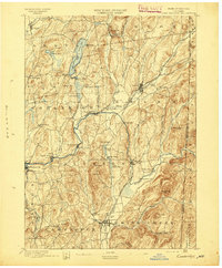
1895 · Cambridge
USGS Topo · 1:62,500

1895 · Fort Ann
USGS Topo · 1:62,500
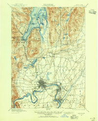
1895 · Glens Falls
USGS Topo · 1:62,500
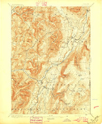
1896 · Equinox
USGS Topo · 1:62,500
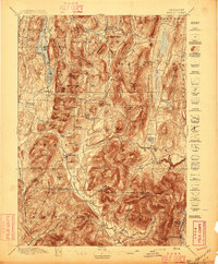
1897 · Pawlet
USGS Topo · 1:62,500