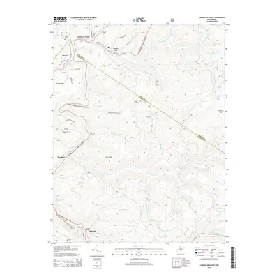
2014 Map of Camden On Gauley
USGS Topo · Published 2014About this map
The Gauley River and Cranberry River converge near the Webster Co Nicholas Co line, defining a landscape marked by steep ridges and narrow valleys. Much of the southern and central terrain is protected within the Monongahela National Forest, where features like Horse Ridge and Perry Ridge rise above a dense network of watercourses including Little Laurel Run and Holcomb Run.
Find a feature on this map
68 named features on this map. Tap any name to fly to it.
Don’t see what you’re looking for? This feature index may not catch every label — zoom into the map to look around manually.
Map Details
Editions of this 2014 Camden On Gauley Map
This is the sole edition of this map. No revisions or reprints were ever made.
Other maps of this area

1889 · Nicholas
USGS Topo · 1:125,000

1891 · Nicholas
USGS Topo · 1:125,000

1891 · Huntersville
USGS Topo · 1:125,000

1894 · Huntersville
USGS Topo · 1:125,000

1901 · Nicholas
USGS Topo · 1:125,000

1915 · Webster Springs
USGS Topo · 1:48,000

1915 · Cowen
USGS Topo · 1:48,000

1917 · Cowen
USGS Topo · 1:62,500

1918 · Webster Springs
USGS Topo · 1:62,500

1918 · Richwood
USGS Topo · 1:62,500