
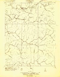
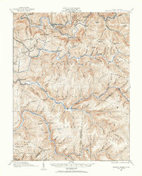
1915 Map of Webster Springs
USGS Topo · Published 1915About this map
Webster Springs serves as the focal point for this survey, situated at the confluence of the Elk River and the Back Fork. The terrain is defined by the steep, deeply dissected ridges of the Allegheny Plateau, including massive features like Point Mountain and the Cranberry Mountains. This map, based on fieldwork led by Frank Sutton and E. I. Ireland, shows the early 20th-century distribution of rural infrastructure before modern road networks were established.
Find a feature on this map
23 named features on this map. Tap any name to fly to it.
Don’t see what you’re looking for? This feature index may not catch every label — zoom into the map to look around manually.
Map Details
Editions of this 1915 Webster Springs Map
3 editions found
Other maps of this area

1889 · Nicholas
USGS Topo · 1:125,000

1891 · Nicholas
USGS Topo · 1:125,000

1891 · Huntersville
USGS Topo · 1:125,000

1893 · Buckhannon
USGS Topo · 1:125,000

1893 · Sutton
USGS Topo · 1:125,000

1894 · Huntersville
USGS Topo · 1:125,000

1896 · Buckhannon
USGS Topo · 1:125,000

1897 · Buckhannon
USGS Topo · 1:125,000

1901 · Nicholas
USGS Topo · 1:125,000

1908 · Sutton
USGS Topo · 1:48,000
Featured Places
- Addison (Webster Springs), WV
- Webster Springs, Addison (Webster Springs)
- Curtin, WV
- Skidmore Crossing, WV
- Bolair, WV