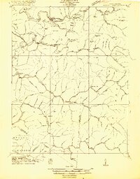
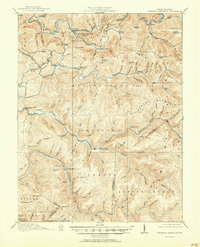
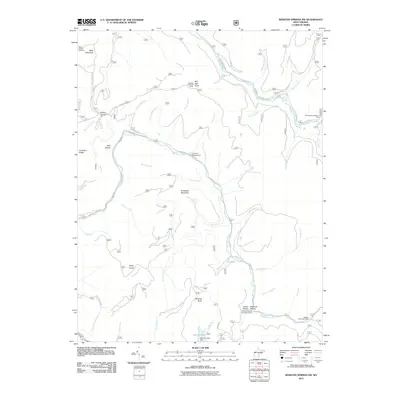
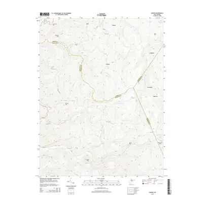
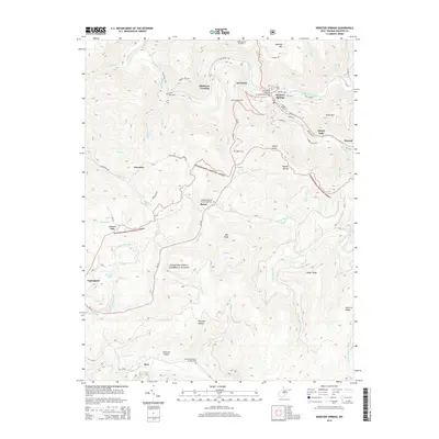
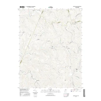
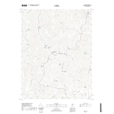
1915 Map of Webster Springs
USGS Topo · Published 1915About this map
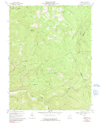
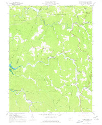
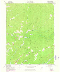
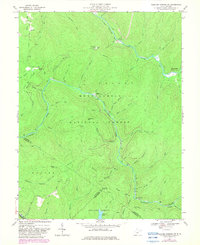
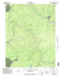
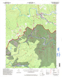
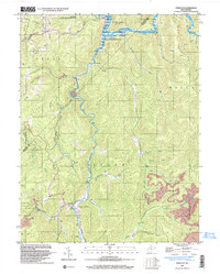
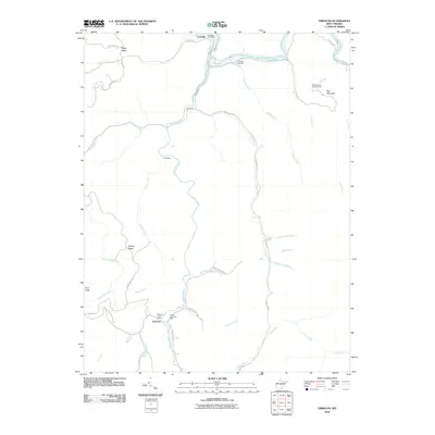
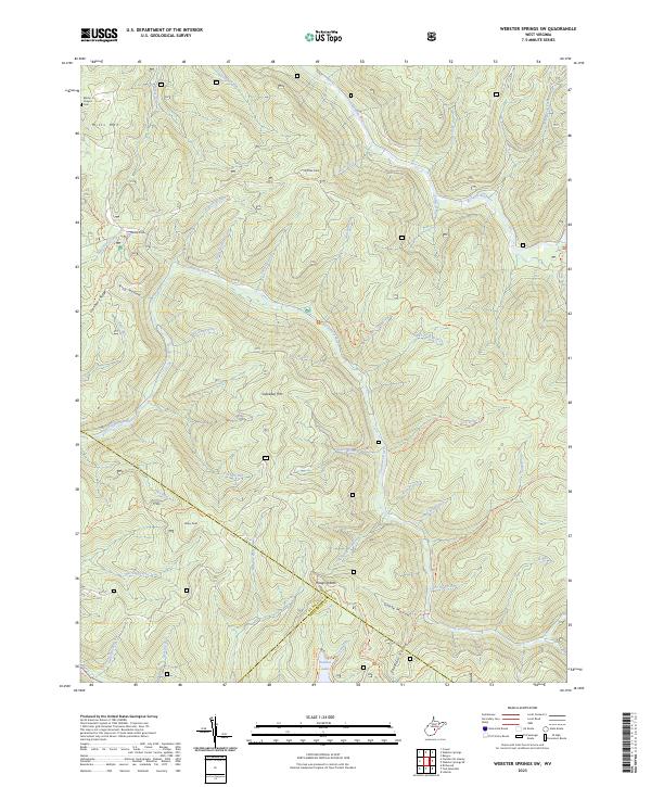
The Elk River and Gauley River headwaters dominate this 1915 survey of the West Virginia highlands, revealing a landscape defined by isolated homesteads and the emerging timber industry. The town of Webster Springs serves as the primary hub, while rural life is anchored by a dense network of country schools such as Cherry Falls School and St Marys School. Evidence of the region's industrial development is visible in the Timber Railroad lines that snake through the drainage basins of the Williams River and Cranberry River. Small crossroads like Upper Glade PO and Bolar represent the sparse settlement pattern of the era. The presence of Traceys Switch and Skidmore Crossing along the waterways highlights how transport was tethered to the river valleys before modern highway expansion.
Find a feature on this map
118 named features on this map. Tap any name to fly to it.
Don’t see what you’re looking for? This feature index may not catch every label — zoom into the map to look around manually.
Map Details
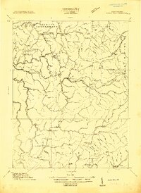
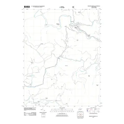
Editions of this 1915 Webster Springs Map
3 editions found

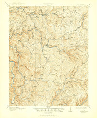
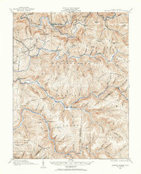
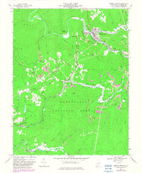
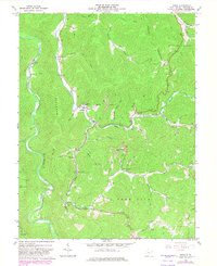
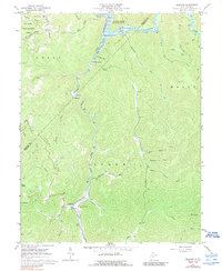
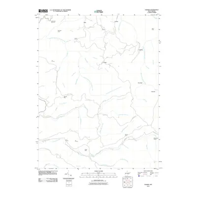
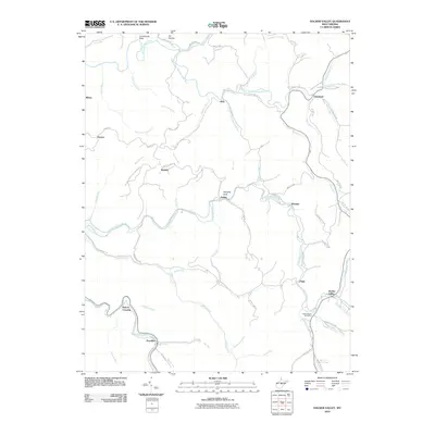
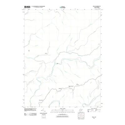
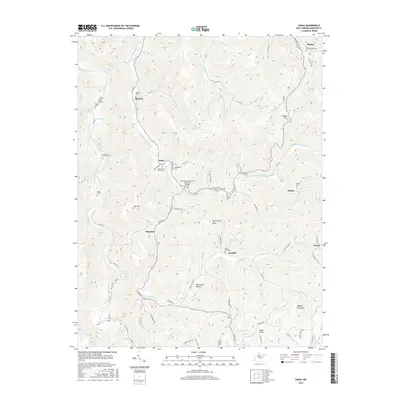
Historical Maps of Addison (Webster Springs) Through Time
49 maps found
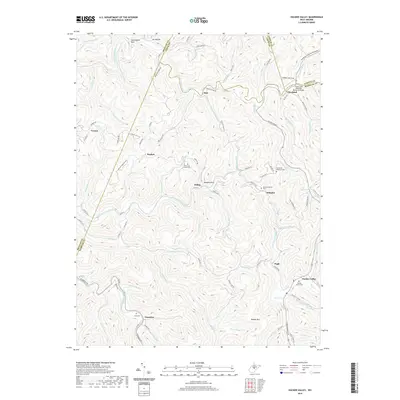
1913 Hacker Valley
Webster County, WV
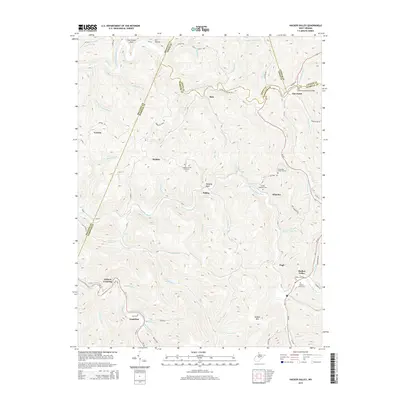
1915 Hacker Valley
Webster County, WV
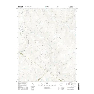
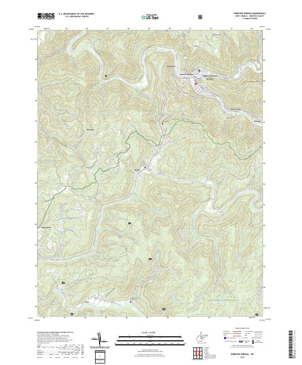
1915 Webster Springs
Webster County, WV
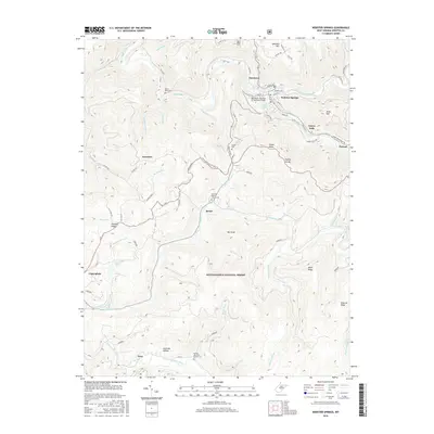
1918 Webster Springs
Webster County, WV
1966 Webster Springs
Webster County, WV
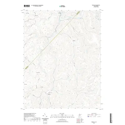
1967 Diana
Webster County, WV
1967 Erbacon
Webster County, WV
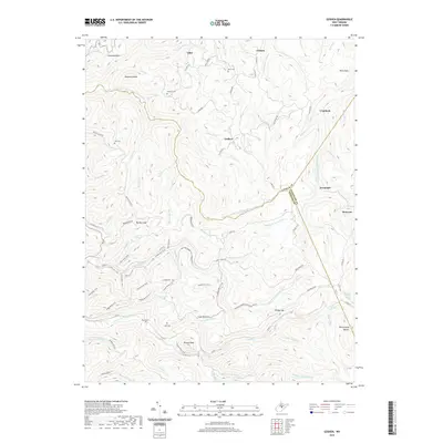
1967 Goshen
Webster County, WV
1967 Hacker Valley
Webster County, WV
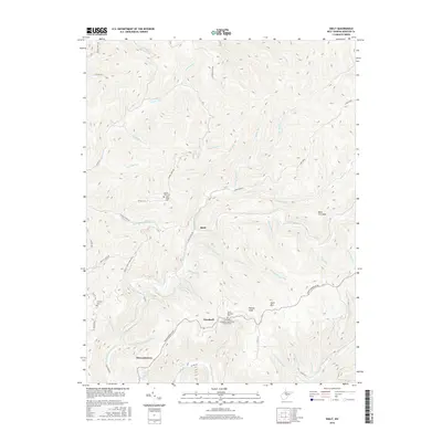
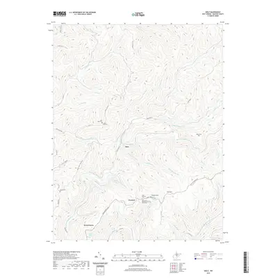
1967 Skelt
Webster County, WV
1967 Webster Springs SW
Webster County, WV
1995 Webster Springs SW
Webster County, WV
1995 Webster Springs
Webster County, WV
1997 Erbacon
Webster County, WV
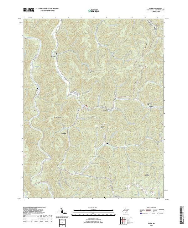
2010 Diana
Webster County, WV
2010 Erbacon
Webster County, WV
2010 Goshen
Webster County, WV
2010 Hacker Valley
Webster County, WV
2010 Skelt
Webster County, WV
2011 Webster Springs SW
Webster County, WV
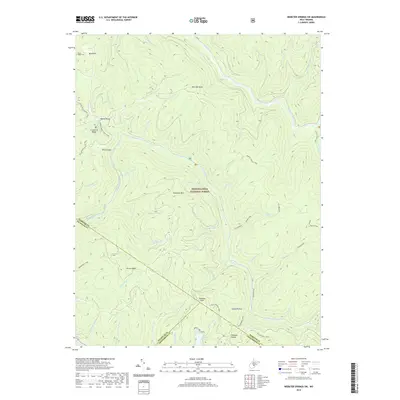
2011 Webster Springs
Webster County, WV
2014 Diana
Webster County, WV
2014 Erbacon
Webster County, WV
2014 Goshen
Webster County, WV
2014 Hacker Valley
Webster County, WV
2014 Skelt
Webster County, WV
2014 Webster Springs SW
Webster County, WV
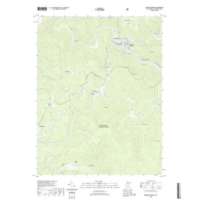
2014 Webster Springs
Webster County, WV
2016 Diana
Webster County, WV
2016 Erbacon
Webster County, WV
2016 Goshen
Webster County, WV
2016 Hacker Valley
Webster County, WV
2016 Skelt
Webster County, WV
2016 Webster Springs SW
Webster County, WV
2016 Webster Springs
Webster County, WV
2019 Diana
Webster County, WV
2019 Erbacon
Webster County, WV
2019 Goshen
Webster County, WV
2019 Hacker Valley
Webster County, WV
2019 Skelt
Webster County, WV
2019 Webster Springs SW
Webster County, WV
2019 Webster Springs
Webster County, WV
2023 Diana
Webster County, WV
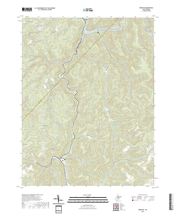
2023 Erbacon
Webster County, WV
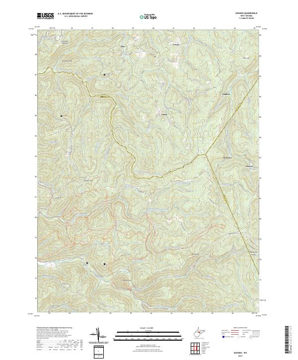
2023 Goshen
Webster County, WV
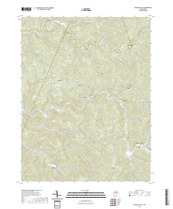
2023 Hacker Valley
Webster County, WV
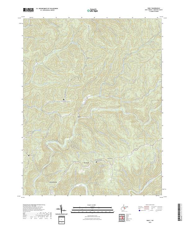
2023 Skelt
Webster County, WV
2023 Webster Springs SW
Webster County, WV
2023 Webster Springs
Webster County, WV
Featured Locations
- Addison (Webster Springs), WV
- Bolair, WV
- Curtin, WV
- Skidmore Crossing, WV
- Webster Springs, Addison (Webster Springs)