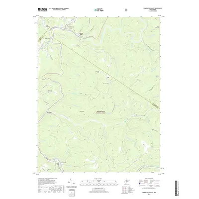
2019 Map of Camden On Gauley
USGS Topo · Published 2019About this map
Camden on Gauley and Gauley Mills sit at the northern edge of this landscape where the Gauley River winds through the hills of the Monongahela National Forest. The settlement pattern follows the river valleys and timber-era infrastructure, with Allingdale and Harris Siding marking historic rail-side locations. To the south, the Cherry River meets the Gauley River near Holcomb, where the Holcomb Bridge spans the water.
Find a feature on this map
69 named features on this map. Tap any name to fly to it.
Don’t see what you’re looking for? This feature index may not catch every label — zoom into the map to look around manually.
Map Details
Editions of this 2019 Camden On Gauley Map
This is the sole edition of this map. No revisions or reprints were ever made.
Other maps of this area

1889 · Nicholas
USGS Topo · 1:125,000

1891 · Nicholas
USGS Topo · 1:125,000

1891 · Huntersville
USGS Topo · 1:125,000

1894 · Huntersville
USGS Topo · 1:125,000

1901 · Nicholas
USGS Topo · 1:125,000

1915 · Webster Springs
USGS Topo · 1:48,000

1915 · Cowen
USGS Topo · 1:48,000

1917 · Cowen
USGS Topo · 1:62,500

1918 · Webster Springs
USGS Topo · 1:62,500

1918 · Richwood
USGS Topo · 1:62,500