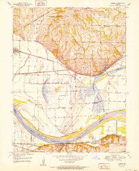
1951 Map of Camden
USGS Topo · Published 1951About this map
The Missouri River defines the landscape of this 1951 survey, winding through the valley where Ray and Lafayette counties meet. The map reveals a complex system of water management, with an extensive Levee network protecting the agricultural bottomlands near Orrick and Camden. These fertile plains are dotted with oxbow remnants like Big Lake and Tibs Lake, illustrating the river's historic shifts before modern stabilization.
Find a feature on this map
44 named features on this map. Tap any name to fly to it.
Don’t see what you’re looking for? This feature index may not catch every label — zoom into the map to look around manually.
Map Details
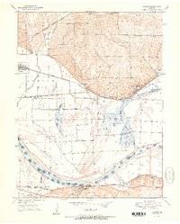
Editions of this 1951 Camden Map
2 editions found
Other maps of this area

1889 · Lexington
USGS Topo · 1:125,000

1894 · Independence
USGS Topo · 1:125,000

1934 · Oak Grove
USGS Topo · 1:24,000

1935 · Buckner
USGS Topo · 1:24,000

1949 · Lexington West
USGS Topo · 1:24,000

1949 · Odessa North
USGS Topo · 1:24,000

1950 · Kansas City
USGS Topo · 1:250,000

1950 · Odessa North
USGS Topo · 1:24,000
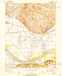
1950 · Camden
USGS Topo · 1:24,000
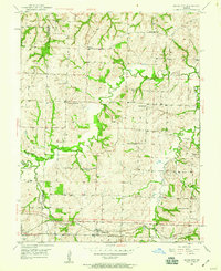
1950 · Bates City
USGS Topo · 1:24,000