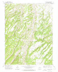
1973 Map of Camel Back
USGS Topo · Published 1975About this map
Uncompahgre National Forest dominates this topographic study of the canyon-and-mesa country of southwestern Colorado. The landscape is defined by long, parallel mesas and deep drainage gulches, with the Monitor Mesa and Winter Mesa formations separated by Potter Creek. This 1973 field-checked survey highlights the livestock and ranching footprint in the area, specifically centering on Ben Lowe Flats and the nearby Ben Lowe Cabin.
Find a feature on this map
29 named features on this map. Tap any name to fly to it.
Don’t see what you’re looking for? This feature index may not catch every label — zoom into the map to look around manually.
Map Details
Editions of this 1973 Camel Back Map
2 editions found
Other maps of this area

1956 · Moab
USGS Topo · 1:250,000

1959 · Moab
USGS Topo · 1:250,000

1960 · Moab
USGS Topo · 1:250,000

1962 · Moab
USGS Topo · 1:250,000
1962 · Hoovers Corner
USGS Topo · 1:24,000
1962 · Delta
USGS Topo · 1:24,000

1964 · Moab
USGS Topo · 1:250,000

1965 · Moab
USGS Topo · 1:250,000
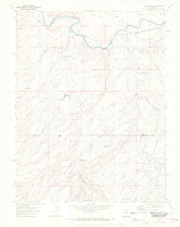
1969 · Roubideau
USGS Topo · 1:24,000
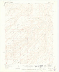
1969 · Good Point
USGS Topo · 1:24,000