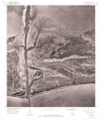
1935 Map of Cameron
USGS Topo · Published 1935About this map
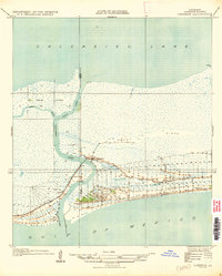
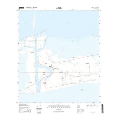
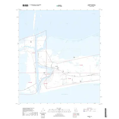
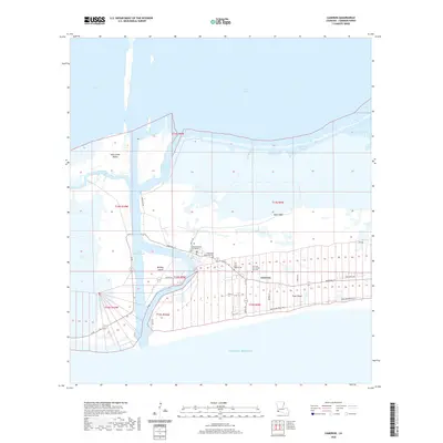
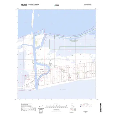
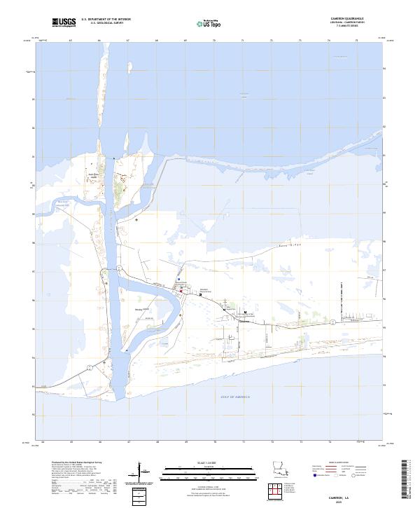
Cameron serves as the focal point of this coastal survey, situated where the Calcasieu Pass meets the Gulf of Mexico. The landscape is defined by the complex movement of water between Calcasieu Lake and the sea, with the West Fork and East Fork bifurcating around St Johns Island. Land use in the mid-1930s followed the natural elevations of the Back Ridge, where early infrastructure like State Highway No 104 and State Highway No 42 began to formalize local travel. Historical maritime interests are anchored by the Calcasieu Light, while the presence of the Rose Sch near the eastern margin reflects a growing coastal community. The detailed mapping of the Mud Flat and various jetties reveals the ongoing efforts to manage the volatile shoreline and navigate the bayous, such as Tripod Bayou, that lace this marshy environment.
Find a feature on this map
16 named features on this map. Tap any name to fly to it.
Don’t see what you’re looking for? This feature index may not catch every label — zoom into the map to look around manually.
Map Details
Editions of this 1935 Cameron Map
This is the sole edition of this map. No revisions or reprints were ever made.
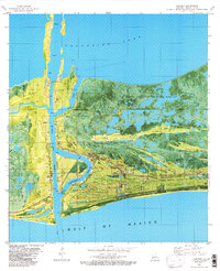
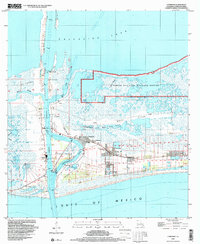
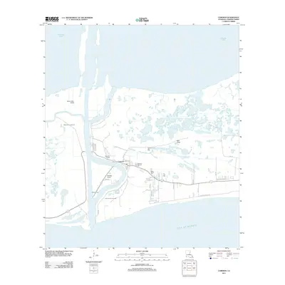
Historical Maps of Cameron Through Time
13 maps found
1934 Cameron
Cameron Parish, LA
1935 Cameron
Cameron Parish, LA
1955 Cameron
Cameron Parish, LA
1960 Cameron
Cameron Parish, LA
1975 Cameron
Cameron Parish, LA
1982 Cameron
Cameron Parish, LA
1998 Cameron
Cameron Parish, LA
2012 Cameron
Cameron Parish, LA
2015 Cameron
Cameron Parish, LA
2018 Cameron
Cameron Parish, LA
2020 Cameron
Cameron Parish, LA
2024 Cameron
Cameron Parish, LA
2025 Cameron
Cameron Parish, LA