
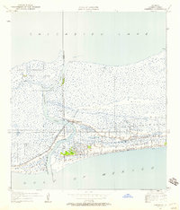
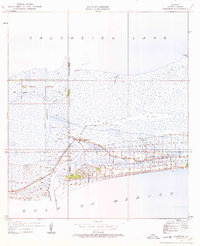
1934 Map of Cameron
USGS Topo · Published 1955About this map
Cameron sits at the vital junction where Calcasieu Pass meets the Gulf of Mexico, serving as a coastal outpost defined by its proximity to the water. In the mid-1930s, the landscape was a complex network of marsh and ridges, with Back Ridge providing slightly higher ground above the surrounding wetlands. This survey, compiled in part from early Air Corps aerial photographs, shows a community tethered to State Highway 29, which follows the narrow strip of habitable land toward the gulf.
Find a feature on this map
15 named features on this map. Tap any name to fly to it.
Don’t see what you’re looking for? This feature index may not catch every label — zoom into the map to look around manually.
Map Details
Editions of this 1934 Cameron Map
3 editions found
Other maps of this area

1934 · Holly Beach
USGS Topo · 1:24,000

1934 · Sweet Lake
USGS Topo · 1:24,000

1934 · Browns Lake
USGS Topo · 1:24,000

1934 · Grand Bayou
USGS Topo · 1:24,000

1935 · Cameron
USGS Topo · 1:31,680

1935 · Sweet Lake
USGS Topo · 1:31,680

1935 · Hackberry
USGS Topo · 1:31,680

1935 · Holly Beach
USGS Topo · 1:31,680

1935 · Grand Bayou
USGS Topo · 1:31,680

1935 · Browns Lake
USGS Topo · 1:31,680