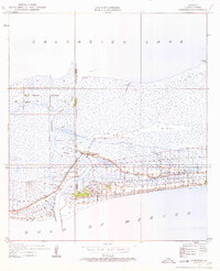
1934 Map of Cameron
USGS Topo · Published 1979About this map
The coastal marshlands of southwest Louisiana meet the Gulf of Mexico in this 1934 topographic survey. The settlement of Cameron is situated along the eastern bank of Calcasieu Pass, a critical waterway where the West Fork and East Fork merge. This area is characterized by low-lying terrain and expansive waterways, including the southern reaches of Calcasieu Lake and the winding Tripod Bayou.
Find a feature on this map
17 named features on this map. Tap any name to fly to it.
Don’t see what you’re looking for? This feature index may not catch every label — zoom into the map to look around manually.
Map Details
Editions of this 1934 Cameron Map
3 editions found
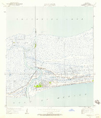
Other maps of this area

1934 · Cameron
USGS Topo · 1:24,000

1934 · Holly Beach
USGS Topo · 1:24,000

1934 · Sweet Lake
USGS Topo · 1:24,000

1934 · Browns Lake
USGS Topo · 1:24,000

1934 · Grand Bayou
USGS Topo · 1:24,000

1935 · Cameron
USGS Topo · 1:31,680

1935 · Sweet Lake
USGS Topo · 1:31,680

1935 · Hackberry
USGS Topo · 1:31,680

1935 · Holly Beach
USGS Topo · 1:31,680

1935 · Grand Bayou
USGS Topo · 1:31,680