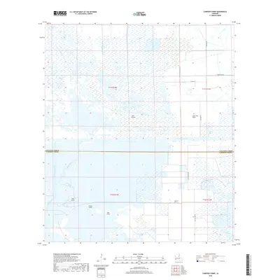
2018 Map of Cameron Farms
USGS Topo · Published 2018About this map
Wild Prairie and the marshlands of coastal Louisiana dominate this landscape, where the boundary between Calcasieu Parish and Cameron Parish bisects a complex network of waterways. The Intracoastal Waterway serves as a primary east-west artery, connecting the natural flows of Black Bayou and its engineered Black Bayou Cutoff. The map illustrates the region's reliance on drainage and maritime transport, featuring the Vinton Drainage Canal, Kelly Canal, and Bancroft Canal as vital infrastructure for the surrounding acreage.
Find a feature on this map
22 named features on this map. Tap any name to fly to it.
Don’t see what you’re looking for? This feature index may not catch every label — zoom into the map to look around manually.
Map Details
Editions of this 2018 Cameron Farms Map
This is the sole edition of this map. No revisions or reprints were ever made.
Other maps of this area

1932 · Orange
USGS Topo · 1:62,500

1934 · Greens Bayou
USGS Topo · 1:24,000

1934 · Browns Lake
USGS Topo · 1:24,000

1934 · Five Lakes
USGS Topo · 1:24,000

1935 · Five Lakes
USGS Topo · 1:31,680

1935 · Browns Lake
USGS Topo · 1:31,680

1935 · Greens Bayou
USGS Topo · 1:31,680

1946 · Phoenix Lake
USGS Topo · 1:31,680

1947 · Sulphur
USGS Topo · 1:31,680

1947 · Vinton
USGS Topo · 1:31,680