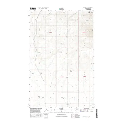
2017 Map of Cameron Lake
USGS Topo · Published 2017About this map
Jackass Butte and the foothills of the Sweet Grass Hills define this northern Montana landscape, where the high plains break into a complex system of drainage coulees and seasonal basins. Settled ranching life is marked by the Eide Ranch and the namesake Cameron Lake, while the road network, including Miners Coulee Rd and Sundby Rd, follows the natural contours of the land. The presence of Eide School Rd suggests the historical locations of rural education centers that once served this isolated community. Water is a critical element of the geography, from the reliable Wood Spring to the winding courses of Sheep Cr and Canon Cr. This 2017 survey illustrates the enduring legacy of early land claims and the names given by those who worked the varied terrain, such as Dutch John Coulee and Miners Coulee.
Find a feature on this map
27 named features on this map. Tap any name to fly to it.
Don’t see what you’re looking for? This feature index may not catch every label — zoom into the map to look around manually.
Map Details
Editions of this 2017 Cameron Lake Map
This is the sole edition of this map. No revisions or reprints were ever made.
Other maps of this area

1943 · Antelope Coulee
USGS Topo · 1:62,500

1945 · West Butte
USGS Topo · 1:62,500

1954 · Shelby
USGS Topo · 1:250,000

1958 · Shelby
USGS Topo · 1:250,000

1962 · Whitlash
USGS Topo · 1:24,000

1962 · Cameron Lake
USGS Topo · 1:24,000

1962 · Hawthorne School
USGS Topo · 1:24,000

1962 · Berkholder Reservoir
USGS Topo · 1:24,000

1962 · Fey Lakes
USGS Topo · 1:24,000

1962 · Grassy Butte
USGS Topo · 1:24,000