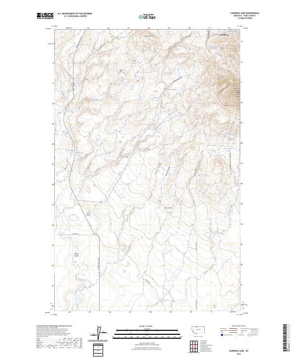
2024 Map of Cameron Lake
USGS Topo · Published 2024About this map
The Sweet Grass Hills rise prominently in this Toole County landscape, where the settlement of Gold Butte marks a high point near the northern border. This contemporary survey by the U.S. Geological Survey captures a land defined by its relief and drainage, with prominent landmarks such as Mid Butte and Jackass Butte breaking the horizon. The presence of the Eide Ranch and the naming of Eide School Rd point to the persistent ranching heritage and rural infrastructure that has sustained this high-plains region.
Find a feature on this map
29 named features on this map. Tap any name to fly to it.
Don’t see what you’re looking for? This feature index may not catch every label — zoom into the map to look around manually.
Map Details
Editions of this 2024 Cameron Lake Map
This is the sole edition of this map. No revisions or reprints were ever made.
Other maps of this area

1943 · Antelope Coulee
USGS Topo · 1:62,500

1945 · West Butte
USGS Topo · 1:62,500

1954 · Shelby
USGS Topo · 1:250,000

1958 · Shelby
USGS Topo · 1:250,000

1962 · Whitlash
USGS Topo · 1:24,000

1962 · Cameron Lake
USGS Topo · 1:24,000

1962 · Hawthorne School
USGS Topo · 1:24,000

1962 · Berkholder Reservoir
USGS Topo · 1:24,000

1962 · Fey Lakes
USGS Topo · 1:24,000

1962 · Grassy Butte
USGS Topo · 1:24,000