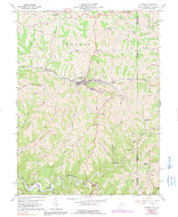
2023 Map of Cameron
USGS Topo · Published 2023About this map
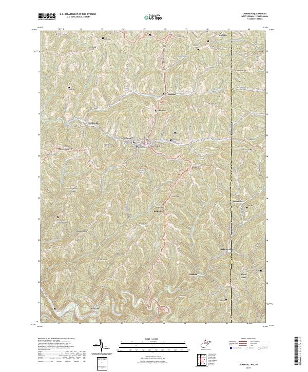
The town of Cameron serves as the central hub of this Appalachian landscape, where the waters of Grave Creek and its many forks have carved a complex topography of ridges and hollows. The area is defined by its deep connectivity to local family history, evidenced by the high density of small burial grounds such as Howard Cem, Bane Cem, and Rock Lick Cem. These sites are often positioned on higher ground, overlooking the winding valleys and the road networks that follow the water, such as Waynesburg Pike and Grave Creek Rd.
Find a feature on this map
121 named features on this map. Tap any name to fly to it.
Don’t see what you’re looking for? This feature index may not catch every label — zoom into the map to look around manually.
Map Details
Editions of this 2023 Cameron Map
This is the sole edition of this map. No revisions or reprints were ever made.
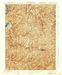
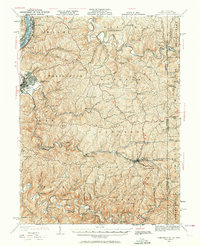
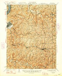
Historical Maps of Kausooth Through Time
5 maps found