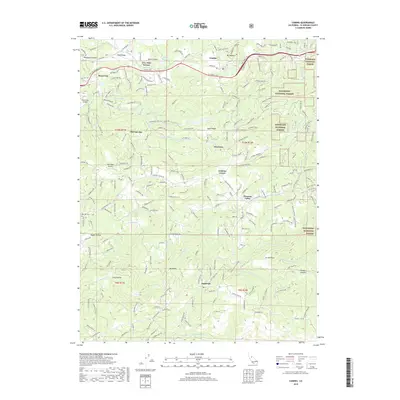
2018 Map of Camino
USGS Topo · Published 2018About this map
The ridge-and-canyon landscape of central El Dorado County is defined here by its hydraulic history and mountain settlements. Elevated above the deep incisions of the N Fork Cosumnes River and the Middle Fork Cosumnes River, the plateau around Camino and Fruit Ridge shows a complex network of water management features, including the El Dorado Irrigation Main Canal, Weber Ditch, and Crawford Ditch. These systems historically supported the orchards and timber operations of the Sierra foothills.
Find a feature on this map
227 named features on this map. Tap any name to fly to it.
Don’t see what you’re looking for? This feature index may not catch every label — zoom into the map to look around manually.
Map Details
Editions of this 2018 Camino Map
This is the sole edition of this map. No revisions or reprints were ever made.
Other maps of this area

1891 · Placerville
USGS Topo · 1:125,000

1892 · Placerville
USGS Topo · 1:125,000

1893 · Placerville
USGS Topo · 1:125,000
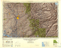
1947 · Sacramento
USGS Topo · 1:250,000
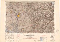
1948 · Sacramento
USGS Topo · 1:250,000
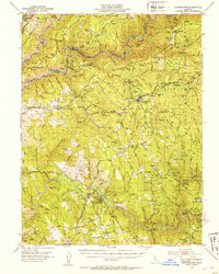
1949 · Georgetown
USGS Topo · 1:62,500
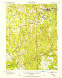
1949 · Placerville
USGS Topo · 1:62,500
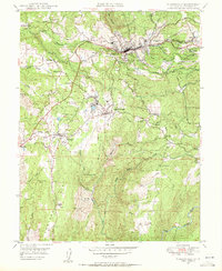
1949 · Placerville
USGS Topo · 1:24,000
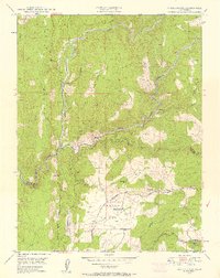
1949 · Fiddletown
USGS Topo · 1:24,000
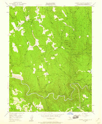
1949 · Garden Valley
USGS Topo · 1:24,000