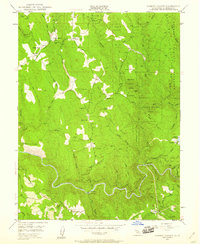
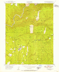
1949 Map of Garden Valley
USGS Topo · Published 1959About this map
Gold-bearing ridges and deep river canyons define this El Dorado County landscape as it appeared in the late 1940s. The South Fork American River carves a winding path along the southern edge of the quadrangle, where the American River Powerhouse and Chili Bar reflect the industrial utility of the waterway. This era of surveying captures the transition from historic mining camps to established mountain communities, with Garden Valley and Kelsey serving as primary hubs of activity. Numerous hard-rock operations including the Black Oak Mine, Alhambra Mine, and Taylor Mine are clearly marked, providing essential data for those tracing the mining history of the Mother Lode. The map also identifies local institutions such as Garden Valley Sch and the W Marshall Shop, alongside the rugged expanse of the Eldorado National Forest.
Find a feature on this map
62 named features on this map. Tap any name to fly to it.
Don’t see what you’re looking for? This feature index may not catch every label — zoom into the map to look around manually.
Map Details
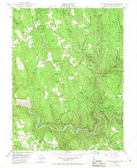
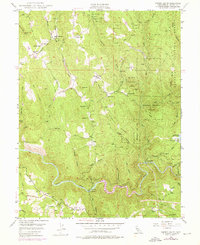
Editions of this 1949 Garden Valley Map
4 editions found

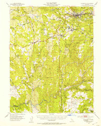
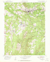
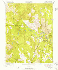
Other maps of this area

1891 · Placerville
USGS Topo · 1:125,000

1892 · Placerville
USGS Topo · 1:125,000

1893 · Placerville
USGS Topo · 1:125,000

1947 · Sacramento
USGS Topo · 1:250,000

1948 · Sacramento
USGS Topo · 1:250,000

1949 · Georgetown
USGS Topo · 1:62,500
1949 · Placerville
USGS Topo · 1:62,500
1949 · Georgetown
USGS Topo · 1:24,000
1949 · Placerville
USGS Topo · 1:24,000
1949 · Coloma
USGS Topo · 1:24,000