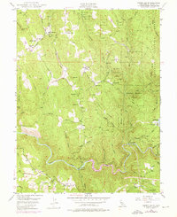
1949 Map of Garden Valley
USGS Topo · Published 1976About this map
The South Fork American River cuts a deep gorge through the southern portion of this El Dorado County landscape, where the rugged topography of the Eldorado National Forest meets early Gold Country settlements. Gold mining heritage is central to the area, evidenced by the Taylor Mine in the north and the Alhambra Mine near Spanish Flat. The map documents a mid-century rural infrastructure consisting of small schoolhouses like Garden Valley Sch and Kelsey School, and the Kelsey PO serving the local population. Near the river, the American River Powerhouse and the Slate Mine at Chili Bar highlight the industrial intersection of water power and mineral extraction. Higher elevations are defined by prominent ridgelines such as Darling Ridge and Laumann Ridge, which separate numerous seasonal drainages including Traverse Creek and Rock Creek.
Find a feature on this map
64 named features on this map. Tap any name to fly to it.
Don’t see what you’re looking for? This feature index may not catch every label — zoom into the map to look around manually.
Map Details
Editions of this 1949 Garden Valley Map
4 editions found
Other maps of this area

1891 · Placerville
USGS Topo · 1:125,000

1892 · Placerville
USGS Topo · 1:125,000

1893 · Placerville
USGS Topo · 1:125,000

1947 · Sacramento
USGS Topo · 1:250,000

1948 · Sacramento
USGS Topo · 1:250,000

1949 · Georgetown
USGS Topo · 1:62,500

1949 · Placerville
USGS Topo · 1:62,500
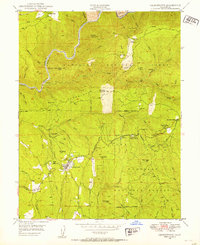
1949 · Georgetown
USGS Topo · 1:24,000

1949 · Placerville
USGS Topo · 1:24,000
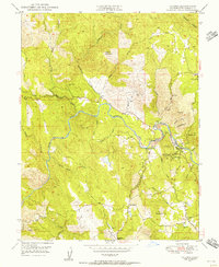
1949 · Coloma
USGS Topo · 1:24,000