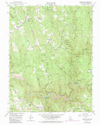
1949 Map of Garden Valley
USGS Topo · Published 1984About this map
The gold-bearing canyons of the western Sierra Nevada define this mid-century portrait of El Dorado County, where the South Fork American River carves a deep path through the foothills. The landscape is dotted with legacies of the California Gold Country, featuring the Black Oak Mine, Nancy Lee Mine, and Alhambra Mine. Small rural centers such as Garden Valley and Kelsey provide the primary points of settlement, supported by community institutions like the Garden Valley Sch and Kelsey School.
Find a feature on this map
64 named features on this map. Tap any name to fly to it.
Don’t see what you’re looking for? This feature index may not catch every label — zoom into the map to look around manually.
Map Details
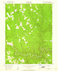
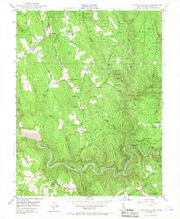
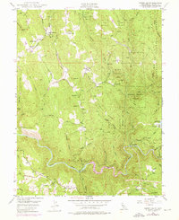
Editions of this 1949 Garden Valley Map
4 editions found
Other maps of this area

1891 · Placerville
USGS Topo · 1:125,000

1892 · Placerville
USGS Topo · 1:125,000

1893 · Placerville
USGS Topo · 1:125,000

1947 · Sacramento
USGS Topo · 1:250,000

1948 · Sacramento
USGS Topo · 1:250,000

1949 · Georgetown
USGS Topo · 1:62,500

1949 · Placerville
USGS Topo · 1:62,500
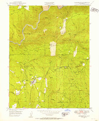
1949 · Georgetown
USGS Topo · 1:24,000

1949 · Placerville
USGS Topo · 1:24,000
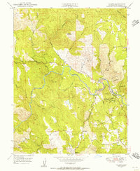
1949 · Coloma
USGS Topo · 1:24,000