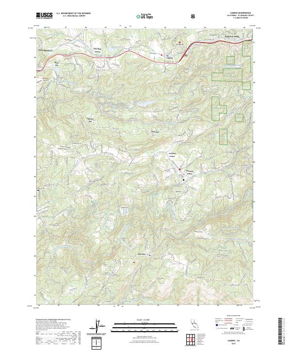
2023 Map of Camino
USGS Topo · Published 2023About this map
Camino and the surrounding El Dorado County landscape are defined by a complex network of water management and transit routes. The El Dorado Irrigation Main Canal and Weber Ditch carve through the terrain, supporting the agricultural and residential needs of communities like Fruit Ridge and Five Mile Terrace. This 2023 edition illustrates the persistent utility of historic paths, where the modern El Dorado Fwy runs parallel to the legendary Pony Express Trl. To the east, the Eldorado National Forest begins its ascent, crossed by the Pacific Crest Trl. Genealogists will find interest in the documented locations of Oak Hill Cem and Pleasant Valley Cem, providing fixed points of reference for local families across generations. From the aviation activity at Placerville Airport to the river junctions at Bucks Bar, the map records a high-altitude community balanced between its gold-rush era roots and contemporary infrastructure.
Find a feature on this map
43 named features on this map. Tap any name to fly to it.
Don’t see what you’re looking for? This feature index may not catch every label — zoom into the map to look around manually.
Map Details
Editions of this 2023 Camino Map
This is the sole edition of this map. No revisions or reprints were ever made.
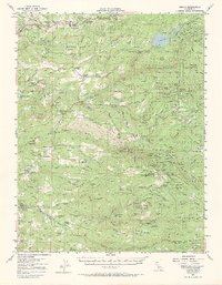
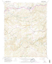
Historical Maps of Camino Through Time
3 maps found