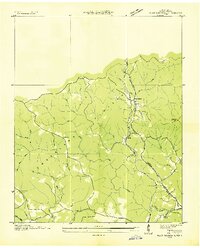
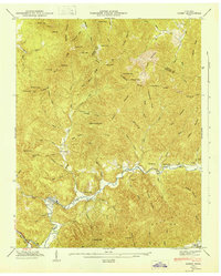
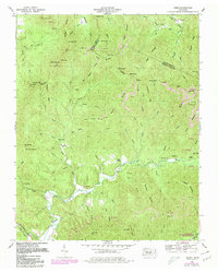
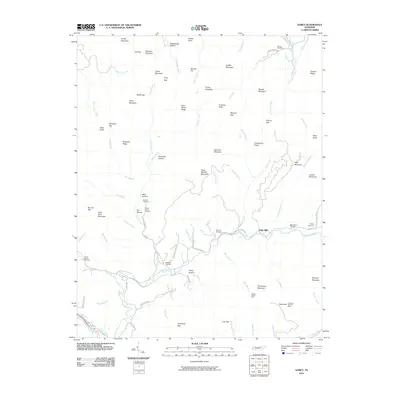
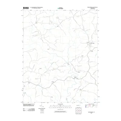
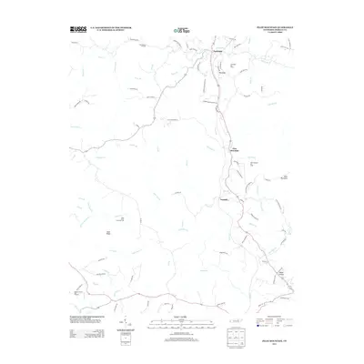
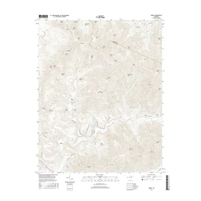
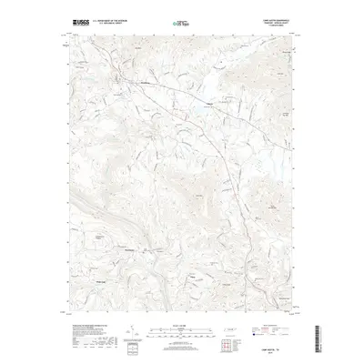
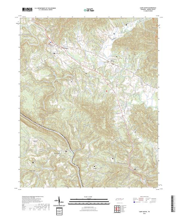
1946 Map of Camp Austin
USGS Topo · Published 1946About this map
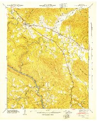
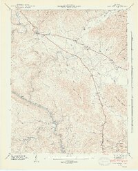
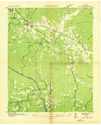
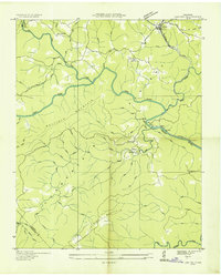
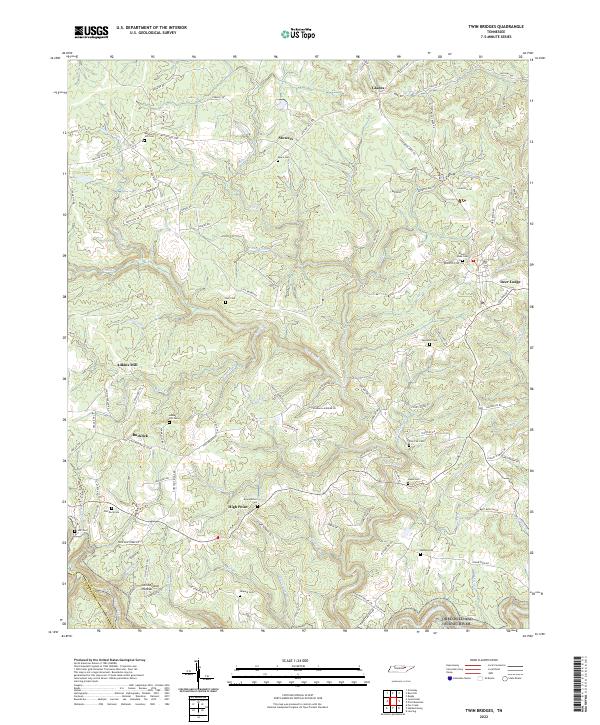
Wartburg serves as the primary focal point of this 1940s landscape, situated at the junction of the Foust Highway and the Telephone Line. The terrain is defined by the winding course of the Emory River, which cuts through the high ridges of Bird Mountain and Love Mountain. The industrial and transportation corridor of the Southern railroad follows the river valley, connecting the settlements of Deermont and Camp Austin.
Find a feature on this map
55 named features on this map. Tap any name to fly to it.
Don’t see what you’re looking for? This feature index may not catch every label — zoom into the map to look around manually.
Map Details
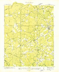
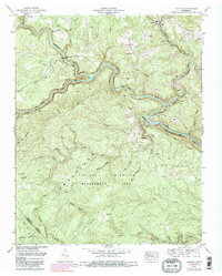
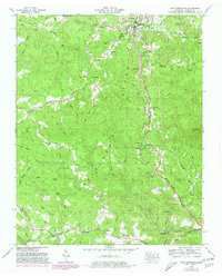
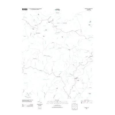
Editions of this 1946 Camp Austin Map
2 editions found
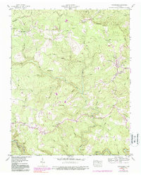
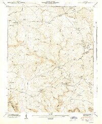
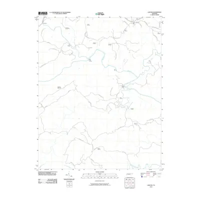
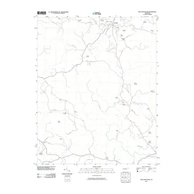
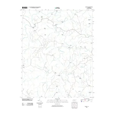
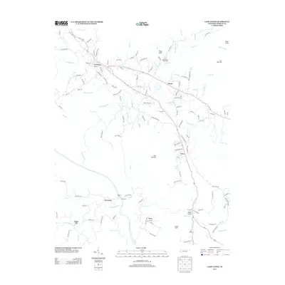
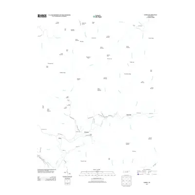
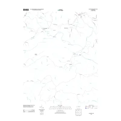
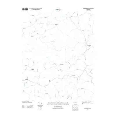
Historical Maps of Wartburg Through Time
47 maps found
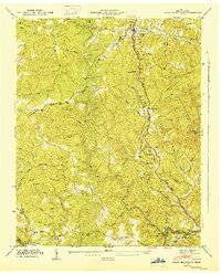
1935 Camp Austin
Morgan County, TN

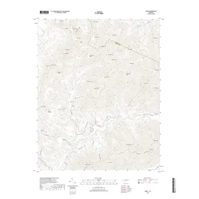
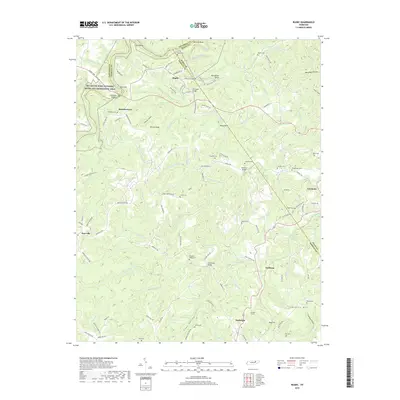
1935 Gobey
Morgan County, TN
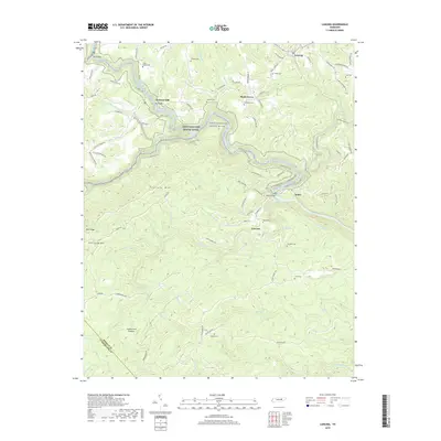
1935 Lancing
Morgan County, TN
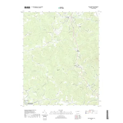
1935 Pilot Mountain
Morgan County, TN
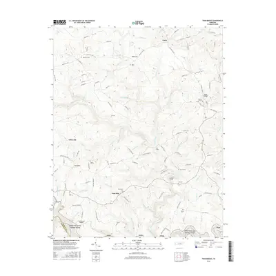
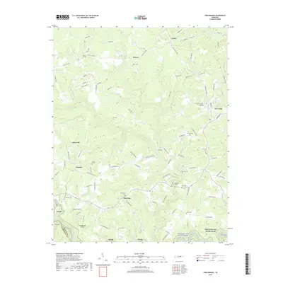
1936 Twin Bridges
Morgan County, TN
1943 Twin Bridges
Morgan County, TN
1945 Twin Bridges
Morgan County, TN
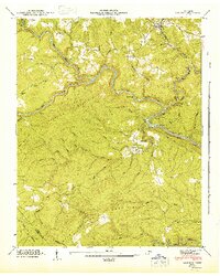
1946 Camp Austin
Morgan County, TN
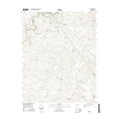
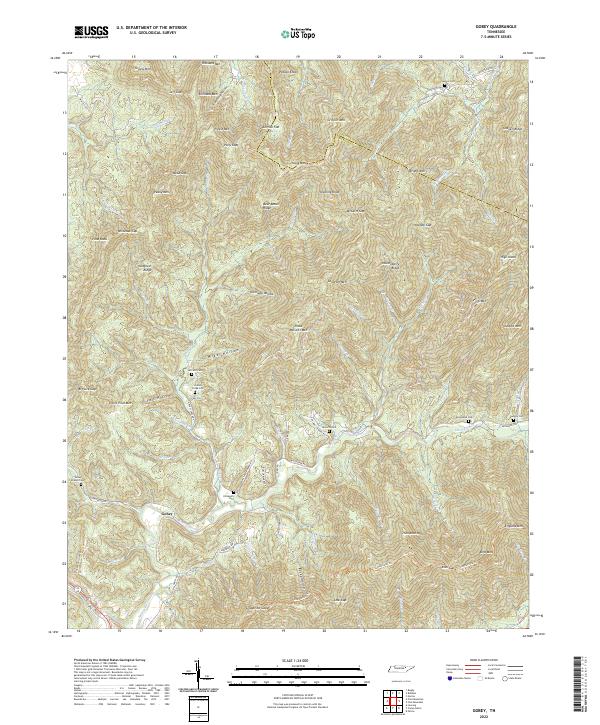
1946 Gobey
Morgan County, TN
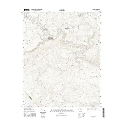
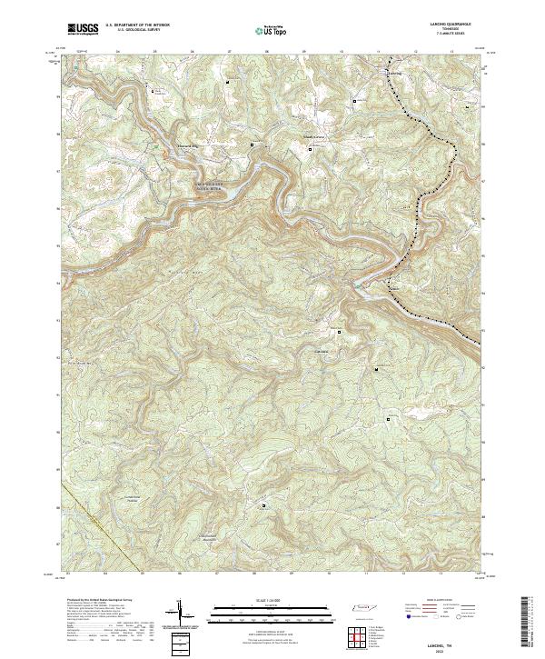
1946 Lancing
Morgan County, TN
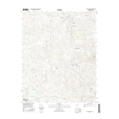
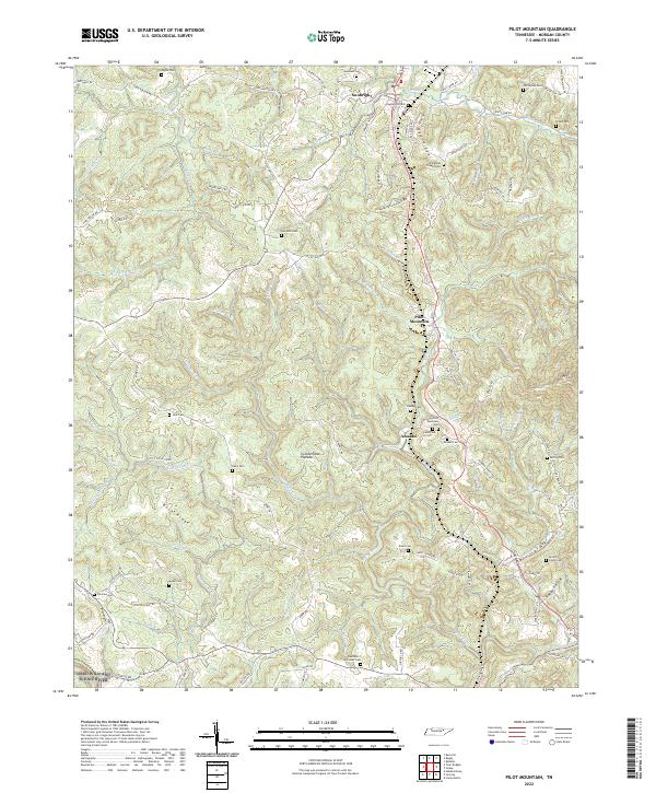
1946 Pilot Mountain
Morgan County, TN
1952 Camp Austin
Morgan County, TN
1952 Gobey
Morgan County, TN
1952 Lancing
Morgan County, TN
1952 Pilot Mountain
Morgan County, TN
1952 Rugby
Morgan County, TN

1979 Oakridge
Morgan County, TN

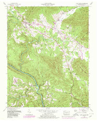
2010 Camp Austin
Morgan County, TN
2010 Gobey
Morgan County, TN
2010 Lancing
Morgan County, TN
2010 Pilot Mountain
Morgan County, TN
2010 Rugby
Morgan County, TN
2010 Twin Bridges
Morgan County, TN
2013 Camp Austin
Morgan County, TN
2013 Gobey
Morgan County, TN
2013 Lancing
Morgan County, TN
2013 Pilot Mountain
Morgan County, TN
2013 Rugby
Morgan County, TN
2013 Twin Bridges
Morgan County, TN
2016 Camp Austin
Morgan County, TN
2016 Gobey
Morgan County, TN
2016 Lancing
Morgan County, TN
2016 Pilot Mountain
Morgan County, TN
2016 Rugby
Morgan County, TN
2016 Twin Bridges
Morgan County, TN
2019 Camp Austin
Morgan County, TN
2019 Gobey
Morgan County, TN
2019 Lancing
Morgan County, TN
2019 Pilot Mountain
Morgan County, TN
2019 Rugby
Morgan County, TN
2019 Twin Bridges
Morgan County, TN
2022 Camp Austin
Morgan County, TN
2022 Gobey
Morgan County, TN
2022 Lancing
Morgan County, TN
2022 Pilot Mountain
Morgan County, TN
2022 Rugby
Morgan County, TN
2022 Twin Bridges
Morgan County, TN