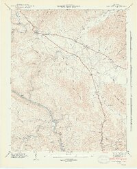
1946 Map of Camp Austin
USGS Topo · Published 1946About this map
Wartburg serves as the focal point of this 1940s landscape, situated where the Foust Highway meets the rugged slopes of Bird Mountain. The surrounding terrain is defined by the winding course of the Emory River, which cuts through the Cumberland Plateau and provides a natural corridor for the Southern railroad. The map documents the rural infrastructure of Morgan County during this era, noting the locations of the Wartburg Cem, local congregations at Liberty Ch and Mossy Grove Ch, and small educational centers like Whiteoak Sch and Piney Sch.
Find a feature on this map
55 named features on this map. Tap any name to fly to it.
Don’t see what you’re looking for? This feature index may not catch every label — zoom into the map to look around manually.
Map Details
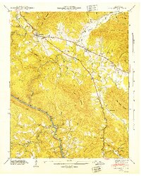
Editions of this 1946 Camp Austin Map
2 editions found
Other maps of this area

1887 · Kingston
USGS Topo · 1:125,000

1891 · Kingston
USGS Topo · 1:125,000

1893 · Briceville
USGS Topo · 1:125,000

1893 · Kingston
USGS Topo · 1:125,000

1895 · Wartburg
USGS Topo · 1:125,000

1895 · Loudon
USGS Topo · 1:125,000

1895 · Briceville
USGS Topo · 1:125,000

1896 · Wartburg
USGS Topo · 1:125,000

1896 · Briceville
USGS Topo · 1:125,000

1935 · Gobey
USGS Topo · 1:24,000