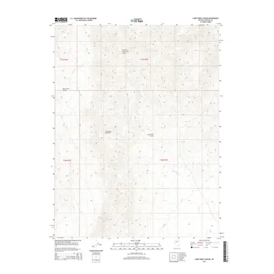
2014 Map of Camp Creek Canyon
USGS Topo · Published 2014About this map
The Clan Alpine Mountains dominate this high-elevation terrain in Churchill County, where dramatic elevation changes define the landscape. This 2014 survey emphasizes the natural drainage systems of the Great Basin, centering on the deep incisions of Camp Creek Canyon and the East Fork Camp Creek Canyon. The map reveals a land structured by its watershed, with Camp Cr and Bench Cr winding through their respective canyons. Remote and primarily defined by its physical geography, the area is also mapped by the Public Land Survey System, showing the township boundaries of t19n r35e and t18n r36e which provided the legal framework for land management in this part of Nevada.
Find a feature on this map
10 named features on this map. Tap any name to fly to it.
Don’t see what you’re looking for? This feature index may not catch every label — zoom into the map to look around manually.
Map Details
Editions of this 2014 Camp Creek Canyon Map
This is the sole edition of this map. No revisions or reprints were ever made.
Other maps of this area

1908 · Carson Sink
USGS Topo · 1:250,000

1910 · Carson Sink
USGS Topo · 1:250,000

1955 · Millett
USGS Topo · 1:250,000

1957 · Reno
USGS Topo · 1:250,000

1959 · Reno
USGS Topo · 1:250,000

1959 · Millett
USGS Topo · 1:250,000

1960 · Reno
USGS Topo · 1:250,000

1966 · Clan Alpine Ranch
USGS Topo · 1:62,500

1969 · Camp Creek Canyon
USGS Topo · 1:24,000

1969 · Cold Springs
USGS Topo · 1:24,000