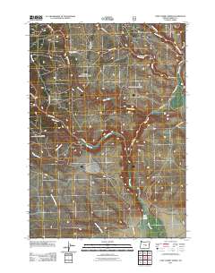
2011 Map of Camp Currey Spring
USGS Topo · Published 2011About this map
Camp Currey Spring serves as a vital water source in this high desert landscape of central Oregon, where a complex network of seasonal drainages defines the geography. The map illustrates a transitional environment where the upper reaches of Silver Creek and Chickahominy Creek begin their descent through the territory. Unlike more developed regions, this area is characterized by a sparse grid of forest and ranch roads, including Mayo Ranch Rd and McCanlies Rd, which provide access to the remote backcountry. The drainage patterns of Rough Creek and Dairy Creek reveal the subtle contours of the terrain, while the naming of Sawmill Creek suggests the historical importance of local timber resources to the region's early economy. This 2011 survey records the essential hydrology and access routes that have supported livestock and land management in Harney County for generations.
Find a feature on this map
19 named features on this map. Tap any name to fly to it.
Don’t see what you’re looking for? This feature index may not catch every label — zoom into the map to look around manually.
Map Details
Editions of this 2011 Camp Currey Spring Map
This is the sole edition of this map. No revisions or reprints were ever made.
Other maps of this area

1955 · Burns
USGS Topo · 1:250,000

1958 · Burns
USGS Topo · 1:250,000

1959 · Burns
USGS Topo · 1:250,000

1961 · Delintment Lake
USGS Topo · 1:62,500
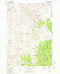
1981 · Mackey Butte
USGS Topo · 1:24,000
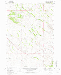
1981 · Potato Hills
USGS Topo · 1:24,000
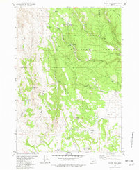
1981 · Bulger Ridge
USGS Topo · 1:24,000

1981 · Camp Currey Spring
USGS Topo · 1:24,000
1981 · Suntex
USGS Topo · 1:24,000
1981 · Riley
USGS Topo · 1:24,000