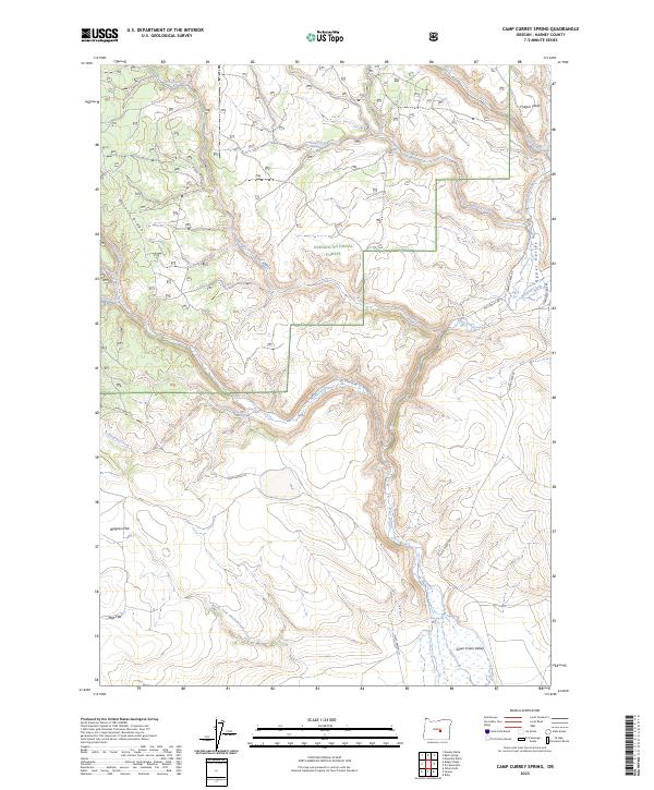
2023 Map of Camp Currey Spring
USGS Topo · Published 2023About this map
Ochoco National Forest defines the northern reaches of this high-desert landscape in Harney County, where the terrain transitions from the uplifted Chapin Table and Nicoll Ridge down into the expansive Silver Creek Valley. The central drainage of Silver Creek is fed by numerous seasonal waterways, including Dairy Creek, Wickiup Creek, and Sawmill Creek. Evidence of land use and ranching history is marked by established tracks like Mayo Ranch Ln and Mc Canlies Rd, which navigate the flats and ridges. To the south, the landscape levels into Ryegrass Flat and Mud Flat, providing a contrast to the northern forest boundary. Notable water sources such as Camp Currey Spring and the North Fork Chickahominy Creek are vital features in this arid environment, illustrating the intersection of natural hydrology and historic transit routes in the Oregon backcountry.
Find a feature on this map
28 named features on this map. Tap any name to fly to it.
Don’t see what you’re looking for? This feature index may not catch every label — zoom into the map to look around manually.
Map Details
Editions of this 2023 Camp Currey Spring Map
This is the sole edition of this map. No revisions or reprints were ever made.
Other maps of this area

1955 · Burns
USGS Topo · 1:250,000

1958 · Burns
USGS Topo · 1:250,000

1959 · Burns
USGS Topo · 1:250,000

1961 · Delintment Lake
USGS Topo · 1:62,500
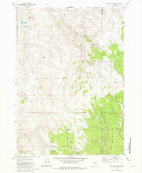
1981 · Mackey Butte
USGS Topo · 1:24,000
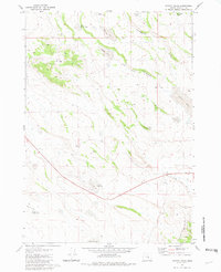
1981 · Potato Hills
USGS Topo · 1:24,000
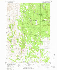
1981 · Bulger Ridge
USGS Topo · 1:24,000

1981 · Camp Currey Spring
USGS Topo · 1:24,000
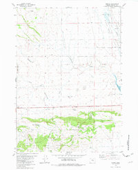
1981 · Suntex
USGS Topo · 1:24,000
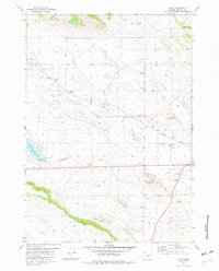
1981 · Riley
USGS Topo · 1:24,000