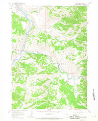
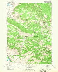
1965 Map of Camp Davis
USGS Topo · Published 1968About this map
The confluence of the Snake River and the Hoback River forms the geographical heart of this mid-1960s survey in Wyoming. Settlement is concentrated at Hoback Junction and the namesake Camp Davis to the southeast, where Lafayette Sta and a Footbridge suggest the area's role as a point of transit and river access. The map reveals the deeply etched topography of Hoback Canyon, where the river winds through steep slopes toward Stinking Springs.
Find a feature on this map
30 named features on this map. Tap any name to fly to it.
Don’t see what you’re looking for? This feature index may not catch every label — zoom into the map to look around manually.
Map Details
Editions of this 1965 Camp Davis Map
This is the sole edition of this map. No revisions or reprints were ever made.
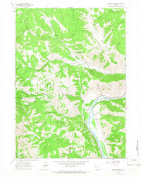
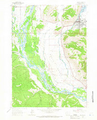
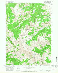
Other maps of this area

1931 · Jackson
USGS Topo · 1:125,000

1935 · Jackson
USGS Topo · 1:125,000

1955 · Driggs
USGS Topo · 1:250,000

1958 · Driggs
USGS Topo · 1:250,000

1962 · Driggs
USGS Topo · 1:250,000
1963 · Munger Mountain
USGS Topo · 1:24,000
1963 · Jackson
USGS Topo · 1:24,000
1965 · Turquoise Lake
USGS Topo · 1:24,000
1965 · Cache Creek
USGS Topo · 1:24,000
1965 · Bailey Lake
USGS Topo · 1:24,000