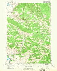
1965 Map of Cache Creek
USGS Topo · Published 1968About this map
The National Elk Refuge and the Teton National Forest dominate this mid-century landscape east of Jackson, Wyoming. The terrain is defined by the high peaks of the Gros Ventre Range, including the prominent Jackson Peak and Nowlin Peak. Human activity is concentrated around the Refuge Hdqrs and small-scale extractive sites such as Jackson Mine, Noker Mine, and a Gravel Pit.
Find a feature on this map
30 named features on this map. Tap any name to fly to it.
Don’t see what you’re looking for? This feature index may not catch every label — zoom into the map to look around manually.
Map Details
Editions of this 1965 Cache Creek Map
2 editions found
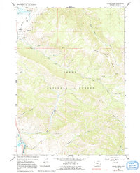
Other maps of this area

1899 · Grand Teton
USGS Topo · 1:125,000

1901 · Grand Teton
USGS Topo · 1:125,000

1931 · Jackson
USGS Topo · 1:125,000

1935 · Jackson
USGS Topo · 1:125,000

1955 · Driggs
USGS Topo · 1:250,000

1958 · Driggs
USGS Topo · 1:250,000

1962 · Driggs
USGS Topo · 1:250,000

1963 · Munger Mountain
USGS Topo · 1:24,000

1963 · Jackson
USGS Topo · 1:24,000

1965 · Camp Davis
USGS Topo · 1:24,000