
1892 Map of Camp Mohave
USGS Topo · Published 1892About this map
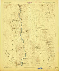
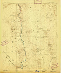
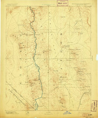
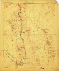
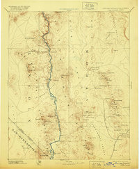
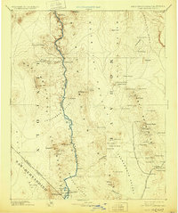
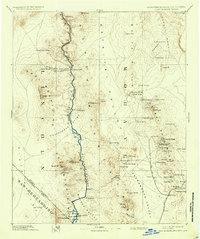
Camp Mohave and the surrounding U.S.Mil. Res anchor this late-nineteenth-century survey of the Colorado River corridor. The landscape is defined by the heavy reliance on water sources and river crossings, evidenced by numerous named springs such as Arizona Spring and Forlorn Hope Spring, and the critical Eldorado Ferry transit point. Along the river, Cottonwood Island and Round Island break the channel between the Black Canyon and Pyramid Canyon.
Find a feature on this map
85 named features on this map. Tap any name to fly to it.
Don’t see what you’re looking for? This feature index may not catch every label — zoom into the map to look around manually.
Map Details
Editions of this 1892 Camp Mohave Map
8 editions found
Other maps of this area

1886 · Diamond Creek
USGS Topo · 1:250,000

1886 · Camp Mohave
USGS Topo · 1:250,000

1886 · Saint Thomas
USGS Topo · 1:250,000

1886 · Mt. Trumbull
USGS Topo · 1:250,000

1892 · Diamond Creek
USGS Topo · 1:250,000

1892 · Mt. Trumbull
USGS Topo · 1:250,000

1893 · Saint Thomas
USGS Topo · 1:250,000

1903 · Needles
USGS Topo · 1:125,000

1904 · Needles Special
USGS Topo · 1:125,000

1907 · Las Vegas
USGS Topo · 1:250,000