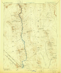
1892 Map of Camp Mohave
USGS Topo · Published 1929About this map
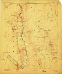
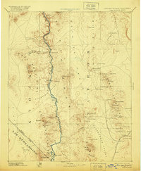
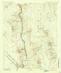
The Colorado River serves as the central artery through this late 19th-century reconnaissance, marking the intersection of Arizona, Nevada, and California. The map reveals a landscape defined by the logistics of the western frontier, where the Eldorado Ferry and the A T And S F RR facilitate movement across the arid Mohave Valley and Detrital Valley. In the east, the mining and ranching economy is evident through the clusters of settlements like Mineral Park, Chloride, and Kingman.
Find a feature on this map
86 named features on this map. Tap any name to fly to it.
Don’t see what you’re looking for? This feature index may not catch every label — zoom into the map to look around manually.
Map Details
Editions of this 1892 Camp Mohave Map
8 editions found
Other maps of this area

1886 · Diamond Creek
USGS Topo · 1:250,000

1886 · Camp Mohave
USGS Topo · 1:250,000

1886 · Saint Thomas
USGS Topo · 1:250,000

1886 · Mt. Trumbull
USGS Topo · 1:250,000

1892 · Diamond Creek
USGS Topo · 1:250,000

1892 · Mt. Trumbull
USGS Topo · 1:250,000

1892 · Camp Mohave
USGS Topo · 1:250,000

1893 · Saint Thomas
USGS Topo · 1:250,000

1903 · Needles
USGS Topo · 1:125,000

1904 · Needles Special
USGS Topo · 1:125,000