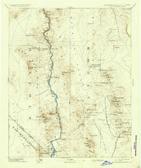
1892 Map of Camp Mohave
USGS Topo · Published 1937About this map
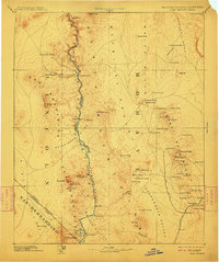
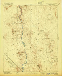
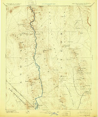
The Colorado River defines the wild frontier character of this late-nineteenth-century survey, carving through the Black Canyon and Pyramid Canyon to separate Arizona from Nevada and California. This era finds the region at a crossroads of military presence and mining extraction, anchored by Camp Mohave and the Fort Mohave Ind Res near the southern bend. To the east, the Cerbat Mountains are dotted with high-desert settlements like Chloride, Mineral Park, and Stockton, reflecting the mineral rush of the Gold Basin. Transportation depends heavily on water and rail, with the Eldorado Ferry providing a rare river crossing while the A T and S F R R skirts the Sacramento Valley, connecting Kingman to the wider territory. The landscape is a network of vital water sources, from Beale Spring to Coyote Holes, which supported travelers and prospectors navigating the vast basins between Mt Tipton and the Dead Mountains.
Find a feature on this map
87 named features on this map. Tap any name to fly to it.
Don’t see what you’re looking for? This feature index may not catch every label — zoom into the map to look around manually.
Map Details
Editions of this 1892 Camp Mohave Map
8 editions found
Other maps of this area

1886 · Diamond Creek
USGS Topo · 1:250,000

1886 · Camp Mohave
USGS Topo · 1:250,000

1886 · Saint Thomas
USGS Topo · 1:250,000

1886 · Mt. Trumbull
USGS Topo · 1:250,000

1892 · Diamond Creek
USGS Topo · 1:250,000

1892 · Mt. Trumbull
USGS Topo · 1:250,000

1892 · Camp Mohave
USGS Topo · 1:250,000

1893 · Saint Thomas
USGS Topo · 1:250,000

1903 · Needles
USGS Topo · 1:125,000

1904 · Needles Special
USGS Topo · 1:125,000