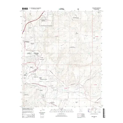
2014 Map of Camp Verde
USGS Topo · Published 2014About this map
Montezuma Castle National Monument and the adjacent Montezuma Airport anchor the northern reaches of this map, where the waters of Beaver Creek wind through the landscape. The settlement of Camp Verde is surrounded by a network of residential developments including Mesa Verde Estates, Pioneer Acres, and Jordan Meadows, illustrating the modern expansion of this Yavapai County community. Historic paths and resource management define the terrain, notably the General Crook Trail and irrigation infrastructure like Woods Ditch.
Find a feature on this map
89 named features on this map. Tap any name to fly to it.
Don’t see what you’re looking for? This feature index may not catch every label — zoom into the map to look around manually.
Map Details
Editions of this 2014 Camp Verde Map
This is the sole edition of this map. No revisions or reprints were ever made.
Other maps of this area

1887 · Verde
USGS Topo · 1:250,000

1892 · Verde
USGS Topo · 1:250,000

1923 · Camp Verde
USGS Topo · 1:125,000

1929 · Turret Peak
USGS Topo · 1:125,000

1932 · Camp Verde
USGS Topo · 1:125,000

1933 · Turret Peak
USGS Topo · 1:125,000

1936 · Camp Verde
USGS Topo · 1:125,000

1954 · Holbrook
USGS Topo · 1:250,000

1957 · Holbrook
USGS Topo · 1:250,000

1958 · Holbrook
USGS Topo · 1:250,000
Featured Places
- Camp Verde, AZ
- Yavapai County, AZ
- United States
- Mesa Verde Estates, Camp Verde
- Verde River Meadows One, Camp Verde