Loading...
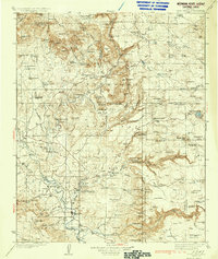
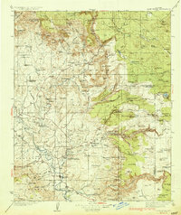
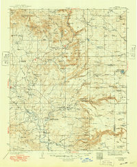
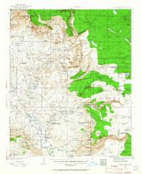
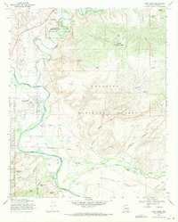
Loading map...1936 Map of Camp Verde
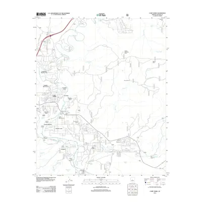
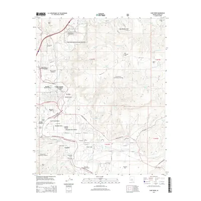
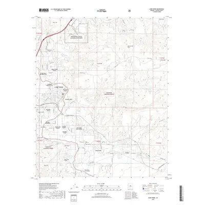
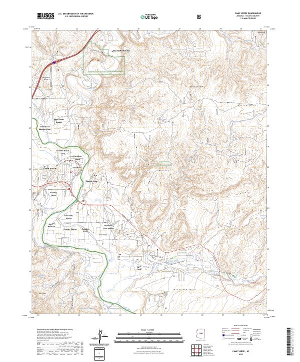
USGS Topo · Published 1936About this map
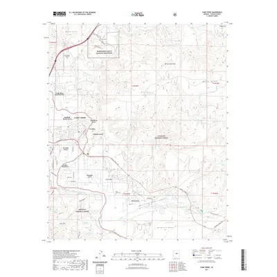
Camp Verde and the winding course of the Verde River serve as the focal points for this mid-1930s survey of central Arizona. The landscape is a network of cattle ranches and early roadside settlements, where schoolhouses like Red Rock Sch and West Oak Creek Sch anchored rural life. To the north, the burgeoning community of Sedona is situated among striking geological formations including Cathedral Rock, Bell Rock, and Courthouse Butte.
Find a feature on this map
117 named features on this map. Tap any name to fly to it.
Don’t see what you’re looking for? This feature index may not catch every label — zoom into the map to look around manually.
Map Details
Date Portrayed1936
Date Published1936
PublisherU.S. Geological Survey
Map TypeTopographic
Scale1:125,000
Physical Dimensions16.7 x 19.8 inches
Editions of this 1936 Camp Verde Map
3 editions found
Historical Maps of Cottonwood Through Time
9 maps found

Featured Locations
Source Details
SourceU.S. Geological Survey
CopyrightPublic Domain