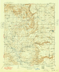
1936 Map of Camp Verde
USGS Topo · Published 1949About this map
The Verde River valley and its surrounding high-country plateaus are depicted in this mid-1930s survey, showing a network of small settlements and educational outposts. Camp Verde sits as a central hub, while the agrarian communities of Middle Verde, Aultman, and Cornville are established along the watercourses. The map reveals the rural infrastructure of the era through numerous one-room schoolhouses like Red Rock Sch, Oak Creek Sch, and Clear Creek Sch, reflecting a landscape of localized ranching and farming prior to the post-war expansion of the Southwest.
Find a feature on this map
129 named features on this map. Tap any name to fly to it.
Don’t see what you’re looking for? This feature index may not catch every label — zoom into the map to look around manually.
Map Details
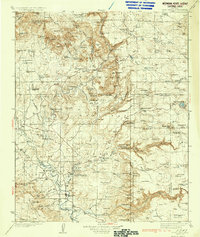
Editions of this 1936 Camp Verde Map
3 editions found

Other maps of this area

1886 · San Francisco Mtns
USGS Topo · 1:250,000

1886 · Chino
USGS Topo · 1:250,000

1887 · Verde
USGS Topo · 1:250,000

1887 · Prescott
USGS Topo · 1:250,000

1891 · San Francisco Mtns
USGS Topo · 1:250,000

1891 · Chino
USGS Topo · 1:250,000

1892 · Verde
USGS Topo · 1:250,000

1892 · Prescott
USGS Topo · 1:250,000

1894 · San Francisco Mtns
USGS Topo · 1:250,000

1899 · San Francisco Mtns
USGS Topo · 1:250,000