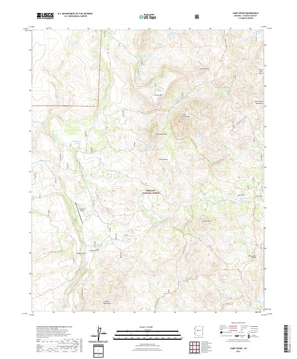
2021 Map of Camp Wood
USGS Topo · Published 2021About this map
Camp Wood serves as the primary focal point of this modern topographic survey within the Prescott National Forest. The map details a landscape defined by sharp elevations and named landforms like Stinson Mtn, Hyde Creek Mtn, and Granite Knob. Significant water-related features include Pine Cr, Apache Cr, and numerous developed tanks such as Stinson Tank and Pasture B Tank, which reflect the region's ranching and resource management priorities. The infrastructure is characterized by a network of forest trails and primitive roads, including the Hyde Mountain Tr and Stinson Tank Tr, providing a clear record of access to the Santa Maria Mountains during the early 21st century.
Find a feature on this map
1 named feature on this map. Tap any name to fly to it.
Don’t see what you’re looking for? This feature index may not catch every label — zoom into the map to look around manually.
Map Details
Editions of this 2021 Camp Wood Map
This is the sole edition of this map. No revisions or reprints were ever made.
Other maps of this area

1887 · Prescott
USGS Topo · 1:250,000

1892 · Prescott
USGS Topo · 1:250,000

1923 · Signal
USGS Topo · 1:250,000

1942 · Signal
USGS Topo · 1:250,000

1945 · Bagdad
USGS Topo · 1:62,500

1947 · Sheridan Mountain
USGS Topo · 1:62,500

1947 · Camp Wood
USGS Topo · 1:62,500

1948 · Sheridan Mountain
USGS Topo · 1:63,360

1948 · Camp Wood
USGS Topo · 1:63,360

1948 · Bagdad
USGS Topo · 1:62,500