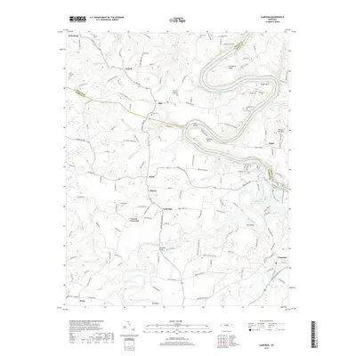
2019 Map of Campaign
USGS Topo · Published 2019About this map
Campaign and Keltonburg anchor the northern and southern reaches of this landscape where the Collins River and Center Hill Lake dictate the local geography. The river’s winding course is marked by significant turns such as Horseshoe Bend and Greenbrier Bend, providing natural boundaries for the rural communities of Belk, Antioch, and Midway. These small settlements are characterized by a network of family-named roads and burial grounds, including the Pat Cantrell Cem and White Cem, which offer significant genealogical value for those tracing lineage in DeKalb, White, and Warren counties. The presence of New Union Baptist Church Cem and the Hennessee Bridge reflect the community's reliance on localized transport and religious centers. Moving toward the east, the terrain rises toward Hickory Nut Mtn, overlooking the Flat Shoals and the surrounding woodlands of the Central Basin.
Find a feature on this map
141 named features on this map. Tap any name to fly to it.
Don’t see what you’re looking for? This feature index may not catch every label — zoom into the map to look around manually.
Map Details
Editions of this 2019 Campaign Map
This is the sole edition of this map. No revisions or reprints were ever made.
Other maps of this area

1893 · Mc Minnville
USGS Topo · 1:125,000

1895 · Mc Minnville
USGS Topo · 1:125,000

1942 · Statesville
USGS Topo · 1:100,000

1943 · Cookeville
USGS Topo · 1:100,000

1943 · Mc Minnville
USGS Topo · 1:100,000

1944 · Cookeville
USGS Topo · 1:100,000

1953 · Chattanooga
USGS Topo · 1:250,000

1953 · Mc Minnville
USGS Topo · 1:24,000
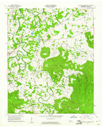
1957 · Cardwell Mountain
USGS Topo · 1:24,000

1957 · Chattanooga
USGS Topo · 1:250,000