
1953 Map of Mc Minnville
USGS Topo · Published 1955About this map
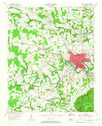
Mc Minnville sits at the confluence of the Barren Fork and Charles Creek, serving as a busy Warren County hub during the early 1950s. The town's industrial and civic footprint is clearly defined, showing the High Sch, Bernard Sch, and the Post Office along Main street. To the south, the terrain rises sharply toward the prominent Ben Lomond Mountain, while the lowlands are carved by a dense network of waterways like Hickory Creek and Peppers Creek.
Find a feature on this map
84 named features on this map. Tap any name to fly to it.
Don’t see what you’re looking for? This feature index may not catch every label — zoom into the map to look around manually.
Map Details
Editions of this 1953 Mc Minnville Map
4 editions found
Other maps of this area

1893 · Mc Minnville
USGS Topo · 1:125,000

1895 · Mc Minnville
USGS Topo · 1:125,000

1936 · Morrison
USGS Topo · 1:24,000

1942 · Statesville
USGS Topo · 1:100,000

1943 · Cookeville
USGS Topo · 1:100,000

1943 · Mc Minnville
USGS Topo · 1:100,000

1944 · Cookeville
USGS Topo · 1:100,000

1952 · Centertown
USGS Topo · 1:24,000

1953 · Chattanooga
USGS Topo · 1:250,000

1953 · Centertown
USGS Topo · 1:24,000