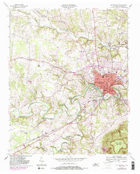
1953 Map of Mc Minnville
USGS Topo · Published 1985About this map
Barren Fork and Hickory Creek converge south of Mc Minnville, shaping a landscape of deep river bends and rising plateaus. This mid-century survey, photorevised in the 1980s, documents the seat of Warren County during a period of infrastructure expansion, highlighted by the County Memorial Airport and the concentrated industrial and residential growth in West Riverside. The map is particularly useful for genealogists, as it preserves the locations of numerous family and community landmarks like Finger Chapel Cem, Antioch Ch, and the rural school system including Biles Sch and Northside Sch. The influence of the And Western railroad line is evident as it cuts through the center of the region, connecting the urban core to outlying settlements like Smartt. From the industrial Filtration Plant to the elevations of Ben Lomond Mountain, the sheet provides a clear view of the area's transition from river-bottom farming to a regional hub.
Find a feature on this map
72 named features on this map. Tap any name to fly to it.
Don’t see what you’re looking for? This feature index may not catch every label — zoom into the map to look around manually.
Map Details
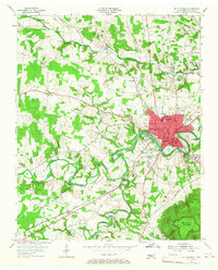
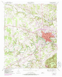
Editions of this 1953 Mc Minnville Map
4 editions found

Other maps of this area

1893 · Mc Minnville
USGS Topo · 1:125,000

1895 · Mc Minnville
USGS Topo · 1:125,000

1936 · Morrison
USGS Topo · 1:24,000

1942 · Statesville
USGS Topo · 1:100,000

1943 · Cookeville
USGS Topo · 1:100,000

1943 · Mc Minnville
USGS Topo · 1:100,000

1944 · Cookeville
USGS Topo · 1:100,000

1952 · Centertown
USGS Topo · 1:24,000

1953 · Chattanooga
USGS Topo · 1:250,000

1953 · Centertown
USGS Topo · 1:24,000