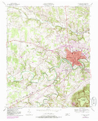
1953 Map of Mc Minnville
USGS Topo · Published 1985About this map
The county seat of Mc Minnville sits at the confluence of the Barren Fork and several smaller tributaries, serving as a regional hub for central Tennessee in the mid-20th century. The town's industrial and civic infrastructure is clearly visible, from the Filtration Plant and Armory to the network of local educational institutions like Biles Sch and Bernard Sch. The landscape surrounding the town is defined by its watercourses, with Hickory Creek and Charles Creek carving through the terrain toward the massive rise of Ben Lomond Mountain in the southeast. Historical land use is evidenced by the Lawson Mill on Hickory Creek and the Sand Pit near Smartt, illustrating the intersection of natural resources and local industry. Rural life outside the main settlement is anchored by numerous country churches and cemeteries, such as Bethlehem Ch and the Riverside Cem, which offer significant data for genealogical research.
Find a feature on this map
76 named features on this map. Tap any name to fly to it.
Don’t see what you’re looking for? This feature index may not catch every label — zoom into the map to look around manually.
Map Details
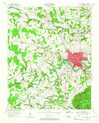
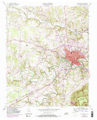
Editions of this 1953 Mc Minnville Map
4 editions found

Other maps of this area

1893 · Mc Minnville
USGS Topo · 1:125,000

1895 · Mc Minnville
USGS Topo · 1:125,000

1936 · Morrison
USGS Topo · 1:24,000

1942 · Statesville
USGS Topo · 1:100,000

1943 · Cookeville
USGS Topo · 1:100,000

1943 · Mc Minnville
USGS Topo · 1:100,000

1944 · Cookeville
USGS Topo · 1:100,000

1952 · Centertown
USGS Topo · 1:24,000

1953 · Chattanooga
USGS Topo · 1:250,000

1953 · Centertown
USGS Topo · 1:24,000