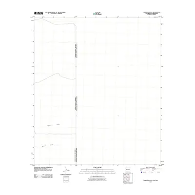
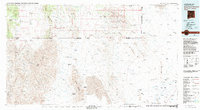
2010 Map of Campbell Well
USGS Topo · Published 2010About this map
United States of America Estados Unidos Mexicanos international border defines this arid landscape, where the high desert terrain is etched by drainage systems flowing across the New Mexico and Chihuahua boundary. The topography is characterized by significant natural depressions, most notably Cottonwood Canyon and Sycamore Canyon, which serve as the primary geographical markers in this sparse region. This 2010 survey reflects a period of modern border documentation, capturing the intersection of the two nations using data from the U.S. Geological Survey and Tele Atlas. The absence of roads or settlements within this specific quadrangle highlights the undeveloped and isolated nature of the borderlands south of the Bootheel region.
Find a feature on this map
3 named features on this map. Tap any name to fly to it.
Don’t see what you’re looking for? This feature index may not catch every label — zoom into the map to look around manually.
Map Details
Editions of this 2010 Campbell Well Map
This is the sole edition of this map. No revisions or reprints were ever made.
Other maps of this area

1918 · Big Hatchet Peak
USGS Topo · 1:62,500

1918 · Dog Mountains
USGS Topo · 1:62,500

1955 · Douglas
USGS Topo · 1:250,000

1959 · Douglas
USGS Topo · 1:250,000

1961 · Douglas
USGS Topo · 1:250,000

1964 · Douglas
USGS Topo · 1:250,000
1982 · Sheridan Canyon
USGS Topo · 1:24,000
1982 · Pierce Peak
USGS Topo · 1:24,000
1983 · Dog Mountains
USGS Topo · 1:24,000
1983 · Alamo Hueco Mountains
USGS Topo · 1:100,000