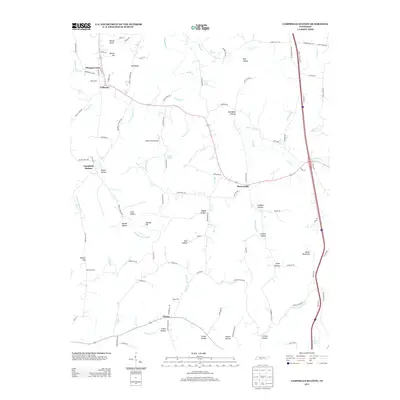
2013 Map of Campbells Station
USGS Topo · Published 2013About this map
Campbells Station and Culleoka anchor this rural landscape in Marshall and Maury counties, where the drainage of Fountain Cr and its southern fork carve through a network of hollows and ridges. This modern survey illustrates the persistent settlement patterns of Middle Tennessee, showing the transition from early rail-side hamlets to contemporary rural communities. The terrain is defined by prominent elevations such as Mount Ida and Pea Ridge, while family-named hollows like Lambert Hollow and James Hollow suggest long-standing land-use histories. Transportation is a central theme, from the interstate corridor on the eastern edge to the local Dodson Siding railroad point. Notable landmarks including Askey Field Airport and the community of Mooresville sit among a complex hydrology of springs and branches, such as Cave Spring and Smith Spring, which have historically sustained the area's agricultural and domestic needs.
Find a feature on this map
115 named features on this map. Tap any name to fly to it.
Don’t see what you’re looking for? This feature index may not catch every label — zoom into the map to look around manually.
Map Details
Editions of this 2013 Campbells Station Map
This is the sole edition of this map. No revisions or reprints were ever made.
Other maps of this area

1901 · Colombia
USGS Topo · 1:125,000

1936 · Milky Way
USGS Topo · 1:24,000

1936 · Cornersville
USGS Topo · 1:24,000

1936 · Lewisburg
USGS Topo · 1:24,000

1936 · Brick Church
USGS Topo · 1:24,000

1936 · Verona
USGS Topo · 1:24,000

1936 · Campbells Station
USGS Topo · 1:24,000

1936 · Glendale
USGS Topo · 1:24,000

1936 · Columbia
USGS Topo · 1:24,000

1936 · Lynnville
USGS Topo · 1:24,000