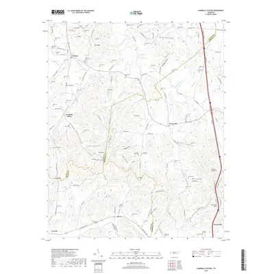
2019 Map of Campbells Station
USGS Topo · Published 2019About this map
Fountain Creek and its many tributaries carve through the rolling landscapes of southern Tennessee, where the boundaries of Maury, Marshall, and Giles counties meet. This area is characterized by an exceptionally high density of family cemeteries, such as Ballanfant Cem and Evergreen Cem, which speak to generations of local settlement and genealogical depth. Small rural hubs like Campbells Station and Mooresville anchor the local road network, while landmarks such as Toombs Hill and the long rise of Pea Ridge define the local topography.
Find a feature on this map
141 named features on this map. Tap any name to fly to it.
Don’t see what you’re looking for? This feature index may not catch every label — zoom into the map to look around manually.
Map Details
Editions of this 2019 Campbells Station Map
This is the sole edition of this map. No revisions or reprints were ever made.
Other maps of this area

1901 · Colombia
USGS Topo · 1:125,000

1936 · Milky Way
USGS Topo · 1:24,000

1936 · Cornersville
USGS Topo · 1:24,000

1936 · Lewisburg
USGS Topo · 1:24,000

1936 · Brick Church
USGS Topo · 1:24,000

1936 · Verona
USGS Topo · 1:24,000

1936 · Campbells Station
USGS Topo · 1:24,000

1936 · Glendale
USGS Topo · 1:24,000

1936 · Columbia
USGS Topo · 1:24,000

1936 · Lynnville
USGS Topo · 1:24,000