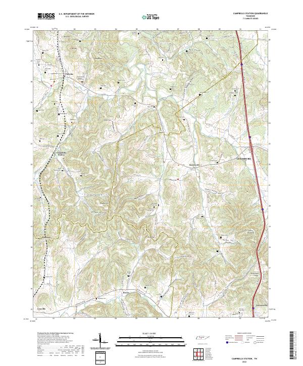
2022 Map of Campbells Station
USGS Topo · Published 2022About this map
Culleoka and Campbells Station anchor this rural landscape in the hills south of Lewisburg. The map reveals a high density of family-named burial grounds and geographic landmarks that speak to generations of settlement along the waterways of Fountain Creek and Globe Cr. Notable sites for genealogists include the Old Mars Hill Cem near Cornersville, and dozens of other plots like Ballanfant Cem and Redding Cem.
Find a feature on this map
149 named features on this map. Tap any name to fly to it.
Don’t see what you’re looking for? This feature index may not catch every label — zoom into the map to look around manually.
Map Details
Editions of this 2022 Campbells Station Map
This is the sole edition of this map. No revisions or reprints were ever made.
Other maps of this area

1901 · Colombia
USGS Topo · 1:125,000

1936 · Milky Way
USGS Topo · 1:24,000

1936 · Cornersville
USGS Topo · 1:24,000

1936 · Lewisburg
USGS Topo · 1:24,000

1936 · Brick Church
USGS Topo · 1:24,000

1936 · Verona
USGS Topo · 1:24,000

1936 · Campbells Station
USGS Topo · 1:24,000

1936 · Glendale
USGS Topo · 1:24,000

1936 · Columbia
USGS Topo · 1:24,000

1936 · Lynnville
USGS Topo · 1:24,000