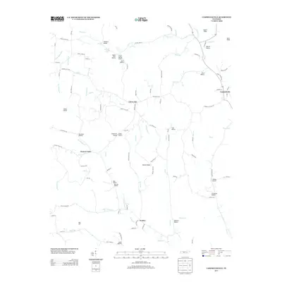
2013 Map of Campbellsville
USGS Topo · Published 2013About this map
Campbellsville and Pleasant Valley anchor this Tennessee landscape, where the headwaters of the S Fork Buffalo River and various forks of Weakley Cr carve deep into the ridge-and-hollow topography. The map reveals a rural pattern of development focused on named hollows and ridges, such as Womble Ridge and Nobbin Ridge, which historically dictated the paths of winding local roads like Campbellsville Pike and Marcella Falls Rd. Genealogists and local historians can find significant landmarks preserved in the names of natural features, including Jasper Field Hollow, Woodard Hollow, and Zuccarello Hollow. Water sources appear as vital hubs for early settlement, evidenced by Marcella Falls Spring and Mint Spring, which provided essential resources for the small communities of Weakley and Oak Hill situated along the drainage divides.
Find a feature on this map
107 named features on this map. Tap any name to fly to it.
Don’t see what you’re looking for? This feature index may not catch every label — zoom into the map to look around manually.
Map Details
Editions of this 2013 Campbellsville Map
This is the sole edition of this map. No revisions or reprints were ever made.
Other maps of this area

1936 · Sandy Hook
USGS Topo · 1:24,000

1936 · Milky Way
USGS Topo · 1:24,000

1936 · Campbellsville
USGS Topo · 1:24,000

1936 · Lawrenceburg
USGS Topo · 1:24,000

1936 · Ethridge
USGS Topo · 1:24,000

1936 · Pulaski
USGS Topo · 1:24,000

1936 · Crestview
USGS Topo · 1:24,000

1936 · Bodenham
USGS Topo · 1:24,000

1936 · Lynnville
USGS Topo · 1:24,000

1948 · Bodenham
USGS Topo · 1:24,000