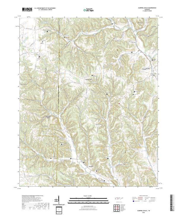
2022 Map of Campbellsville
USGS Topo · Published 2022About this map
Campbellsville and Liberty Hill anchor this rural landscape along the Lawrence Co Giles Co boundary, where the headwaters of Factory Cr and Wet Weakley Cr carve deep hollows into the terrain. The area is characterized by a high density of small family and community burial grounds, such as the Hannah-Yokley Cem, Stafford Cem, and Kimbrough Cem, reflecting a long history of local settlement. The geography is defined by a series of prominent ridges, including Nobbin Ridge and Womble Ridge, which separate the various drainage basins.
Find a feature on this map
126 named features on this map. Tap any name to fly to it.
Don’t see what you’re looking for? This feature index may not catch every label — zoom into the map to look around manually.
Map Details
Editions of this 2022 Campbellsville Map
This is the sole edition of this map. No revisions or reprints were ever made.
Other maps of this area

1936 · Sandy Hook
USGS Topo · 1:24,000

1936 · Milky Way
USGS Topo · 1:24,000

1936 · Campbellsville
USGS Topo · 1:24,000

1936 · Lawrenceburg
USGS Topo · 1:24,000

1936 · Ethridge
USGS Topo · 1:24,000

1936 · Pulaski
USGS Topo · 1:24,000

1936 · Crestview
USGS Topo · 1:24,000

1936 · Bodenham
USGS Topo · 1:24,000

1936 · Lynnville
USGS Topo · 1:24,000

1948 · Bodenham
USGS Topo · 1:24,000