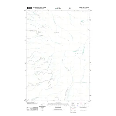
2011 Map of Campfire Lake
USGS Topo · Published 2011About this map
Kimberly stands as a focal point of this mountainous region in Park County, where the landscape is defined by the high elevations of Sugar Loaf Mountain and Sunlight Peak. The drainage patterns here are complex, with headwaters like the South Fork Shields River and Trespass Creek cutting through the terrain. A network of access roads, including Lima and Kimberly A, provide passage through the high country towards more remote water bodies.
Find a feature on this map
39 named features on this map. Tap any name to fly to it.
Don’t see what you’re looking for? This feature index may not catch every label — zoom into the map to look around manually.
Map Details
Editions of this 2011 Campfire Lake Map
This is the sole edition of this map. No revisions or reprints were ever made.
Other maps of this area

1886 · Little Belt Mts.
USGS Topo · 1:250,000

1891 · Livingston
USGS Topo · 1:250,000

1893 · Livingston
USGS Topo · 1:250,000

1894 · Little Belt Mts.
USGS Topo · 1:250,000

1897 · Little Belt Mts.
USGS Topo · 1:250,000

1898 · Little Belt Mts.
USGS Topo · 1:250,000

1902 · Little Belt Mts.
USGS Topo · 1:250,000

1947 · Bozeman
USGS Topo · 1:250,000

1948 · Bozeman
USGS Topo · 1:250,000

1948 · White Sulphur Springs
USGS Topo · 1:250,000