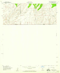
1958 Map of Campini Mesa
USGS Topo · Published 1959About this map
The international border between the United States and Mexico forms the southern boundary of this high-desert survey, where the peaks of the Coronado National Forest meet the flat expanse of Campini Mesa. In the late 1950s, this landscape was defined by isolated livestock operations and the seasonal drainage of deep canyons. The map records several named cattle operations, including Bercich Ranch and Lone Mountain Ranch, which were essential to the region's ranching economy. The complex topography is carved by a network of dry washes and canyons, such as Sunnyside Canyon and School Canyon, while Joaquin Creek provides a rare indication of water flow. The presence of the Black Tail Canyon Spring and a remote Water Tank highlight the critical nature of water resources for sustaining life and industry along this remote stretch of the Arizona-Sonora borderlands.
Find a feature on this map
14 named features on this map. Tap any name to fly to it.
Don’t see what you’re looking for? This feature index may not catch every label — zoom into the map to look around manually.
Map Details
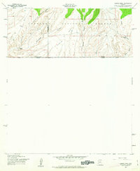
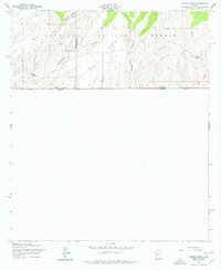
Editions of this 1958 Campini Mesa Map
3 editions found
Other maps of this area

1905 · Nogales
USGS Topo · 1:125,000

1914 · Hereford
USGS Topo · 1:125,000

1922 · Sunnyside
USGS Topo · 1:62,500

1932 · Lochiel
USGS Topo · 1:62,500

1938 · Sunnyside
USGS Topo · 1:62,500

1948 · Canelo Pass
USGS Topo · 1:24,000

1948 · Huachuca Peak
USGS Topo · 1:24,000

1948 · Miller Peak
USGS Topo · 1:24,000

1948 · Sunnyside SE
USGS Topo · 1:24,000
1948 · Sunnyside SW
USGS Topo · 1:24,000