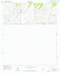
1958 Map of Campini Mesa
USGS Topo · Published 1977About this map
The United States-Mexico border defines the southern edge of this remote high-desert landscape in southeastern Arizona. Located within the Coronado National Forest, the terrain is dominated by the prominent Campini Mesa and a series of deep drainage systems, including Sunnyside Canyon and the aptly named School Canyon. The map illustrates the sparsely populated ranching lifestyle of the mid-20th century, centering on isolated outposts like Bereich Ranch and Lone Mountain Ranch. These settlements rely on scarce water resources such as Joaquin Creek and various unnamed springs. The presence of the Santa Cruz-Cochise County line provides a crucial reference for genealogists tracking family land and livestock movements between these two historic counties during the late 1950s.
Find a feature on this map
16 named features on this map. Tap any name to fly to it.
Don’t see what you’re looking for? This feature index may not catch every label — zoom into the map to look around manually.
Map Details
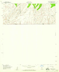
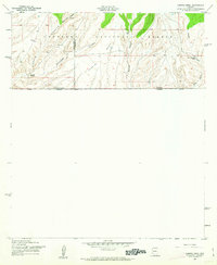
Editions of this 1958 Campini Mesa Map
3 editions found
Other maps of this area

1905 · Nogales
USGS Topo · 1:125,000

1914 · Hereford
USGS Topo · 1:125,000

1922 · Sunnyside
USGS Topo · 1:62,500

1932 · Lochiel
USGS Topo · 1:62,500

1938 · Sunnyside
USGS Topo · 1:62,500

1948 · Canelo Pass
USGS Topo · 1:24,000

1948 · Huachuca Peak
USGS Topo · 1:24,000

1948 · Miller Peak
USGS Topo · 1:24,000

1948 · Sunnyside SE
USGS Topo · 1:24,000
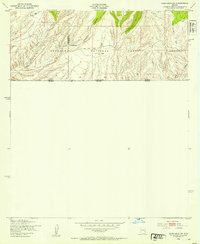
1948 · Sunnyside SW
USGS Topo · 1:24,000