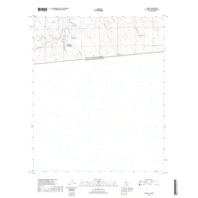
2018 Map of Campo
USGS Topo · Published 2018About this map
Rancho Del Campo sits at the heart of this international borderlands survey, where the high desert terrain of San Diego County meets the northern edge of Mexico. The landscape is defined by the winding course of Campo Cr and the waters of Campo Lake, set against a backdrop of steep ridges and canyons like Smith Canyon. This region is a significant corridor for transit and recreation, marked by the presence of Hwy 94 and the Pacific Crest National Scenic Trail.
Find a feature on this map
22 named features on this map. Tap any name to fly to it.
Don’t see what you’re looking for? This feature index may not catch every label — zoom into the map to look around manually.
Map Details
Editions of this 2018 Campo Map
This is the sole edition of this map. No revisions or reprints were ever made.
Other maps of this area

1903 · Cuyamaca
USGS Topo · 1:125,000

1904 · Southern California Sheet No. 2
USGS Topo · 1:250,000

1931 · Carrizo
USGS Topo · 1:125,000

1939 · Campo
USGS Topo · 1:62,500

1942 · Potrero
USGS Topo · 1:48,000

1942 · Campo
USGS Topo · 1:62,500

1944 · Potrero
USGS Topo · 1:62,500

1950 · San Diego
USGS Topo · 1:250,000

1954 · San Diego
USGS Topo · 1:250,000

1955 · San Diego
USGS Topo · 1:250,000