1996 Map of Campo
USGS Topo · Published 2002About this map
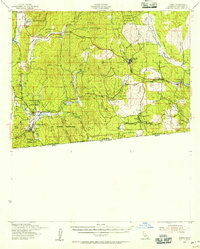
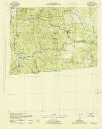
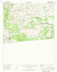
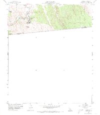
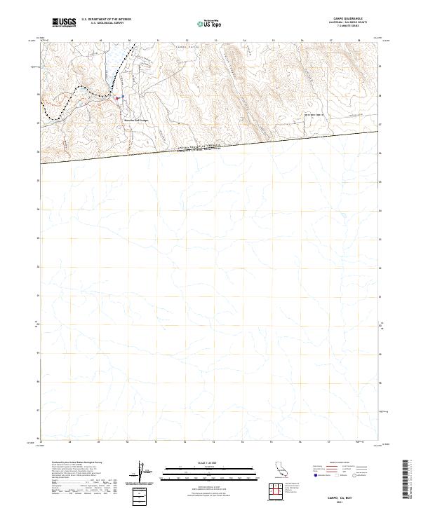
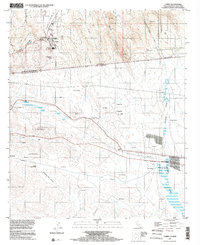
The international border between United States Of America Estados Unidos Mexicanos and California Baja California bisects this landscape, creating a distinct mapping of two nations. North of the line, the community of Campo is defined by institutional and tribal land use, featuring the Campo Indian Reservation and local education centers like Campo Sch and Mt Empire Union High Sch. The rugged terrain is traversed by the Pacific Crest National Scenic Trail, which winds through the hills near Rancho Del Campo. South of the border, the map reveals a different settlement pattern of ranchos and smaller localities such as Santa Margarita and San Valentin. The infrastructure of the era is evident in the transition from the hills of Castle Rock Ranch to the southern Aqueduct and Pipeline systems under construction near the border.
Find a feature on this map
48 named features on this map. Tap any name to fly to it.
Don’t see what you’re looking for? This feature index may not catch every label — zoom into the map to look around manually.
Map Details
Editions of this 1996 Campo Map
This is the sole edition of this map. No revisions or reprints were ever made.
Historical Maps of Campo Through Time
9 maps found