Loading...
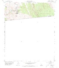
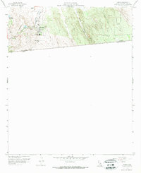
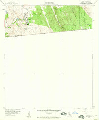
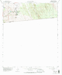
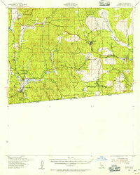
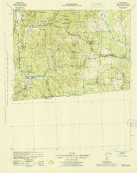
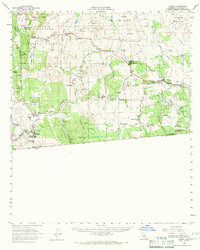
Loading map...1959 Map of Campo
USGS Topo · Published 1973About this map
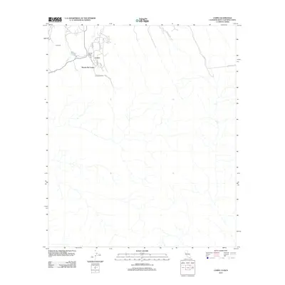
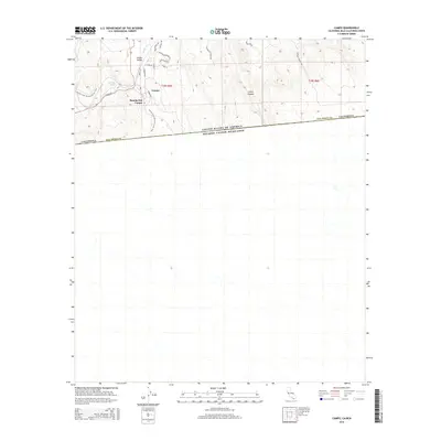
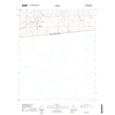
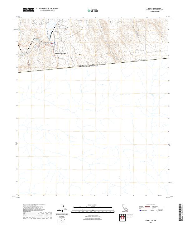
The international border between the United States and Mexico defines the southern edge of this mid-century landscape, where the high desert terrain meets the infrastructure of San Diego County. The community of Campo serves as a focal point, situated along the tracks of the San Diego and Arizona Eastern railroad. The map documents a rural society built around cattle ranching and education, featuring Castle Rock Ranch and the Mtn Empire Union High Sch.
Find a feature on this map
17 named features on this map. Tap any name to fly to it.
Don’t see what you’re looking for? This feature index may not catch every label — zoom into the map to look around manually.
Map Details
Date Portrayed1959
Date Published1973
PublisherU.S. Geological Survey
Map TypeTopographic
Scale1:24,000
Physical Dimensions23.06 x 26.59 inches
Editions of this 1959 Campo Map
4 editions found
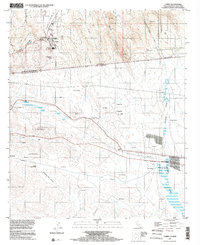
Historical Maps of Campo Through Time
9 maps found
Featured Locations
Source Details
SourceU.S. Geological Survey
CopyrightPublic Domain